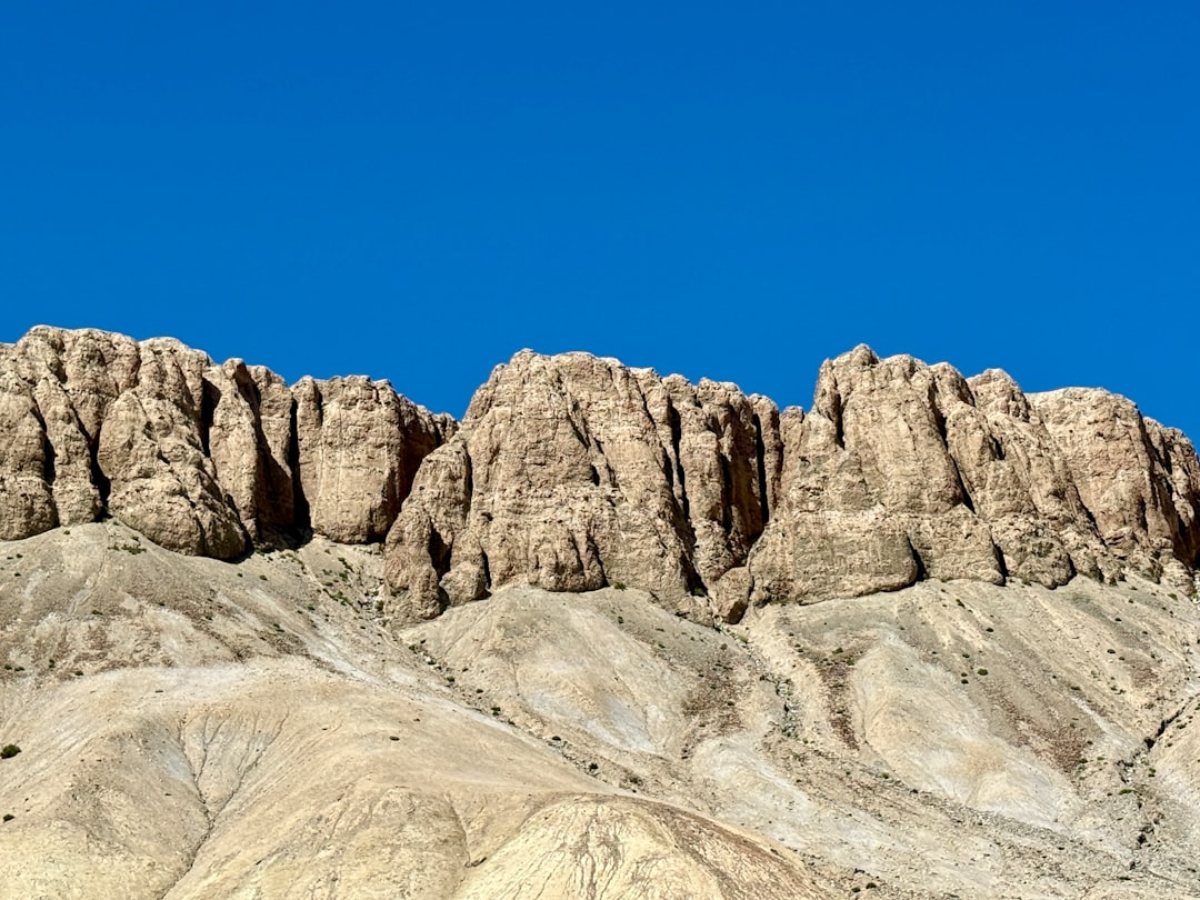
Geological sciences, a multidisciplinary field, systematically investigate Earth’s composition, structure, processes, and history. It encompasses the study of rocks, minerals, landforms, and the forces that shape them. This discipline extends its gaze from the planet’s molten core to the farthest reaches of its atmosphere, providing critical insights into natural phenomena and resources vital to human civilization. Through meticulous observation, data analysis, and modeling, geologists piece together the intricate narrative of our planet.
The Earth is not a static body but a vibrant, ever-changing system, driven by immense internal forces. Understanding these forces is fundamental to geological inquiry.
Plate Tectonics: The Grand Orchestrator
The theory of plate tectonics serves as the unifying paradigm in modern geology. It posits that Earth’s outermost layer, the lithosphere, is fragmented into several large and small plates that are in continuous motion relative to one another.
- Subduction Zones: Where oceanic plates descend beneath continental or other oceanic plates, giving rise to deep ocean trenches and volcanic arcs. This process recycles crustal material back into the mantle.
- Spreading Centers: At mid-ocean ridges, new oceanic crust is generated as magma wells up from the mantle, pushing plates apart. This is a primary mechanism for global seafloor expansion.
- Transform Faults: Where plates slide horizontally past each other, often resulting in significant seismic activity, as exemplified by the San Andreas Fault in California.
- Collision Zones: When two continental plates converge, neither subducts significantly due to their buoyancy, leading to the formation of vast mountain ranges like the Himalayas.
These tectonic movements are responsible for numerous geological phenomena, including earthquakes, volcanic eruptions, and mountain building. The slow, inexorable march of these plates has sculpted the continents and oceans over billions of years, a testament to Earth’s profound dynamism.
Earth’s Layers: A Concentric Riddle
Our planet is structured in concentric layers, each with distinct physical and chemical properties. These layers are revealed through seismic waves, analogous to ultrasound for the Earth.
- Crust: The thin, outermost layer, varying in thickness from approximately 5-10 km for oceanic crust to 30-50 km for continental crust. It is composed predominantly of silicates.
- Mantle: Extending to a depth of about 2,900 km, the mantle is primarily solid, but its upper portion exhibits ductile behavior, allowing for convection currents that drive plate tectonics. It is rich in iron, magnesium, and silicon.
- Outer Core: A liquid layer composed mainly of iron and nickel, extending from 2,900 km to 5,150 km. Convection within the outer core generates Earth’s magnetic field, a crucial shield against harmful solar radiation.
- Inner Core: A solid sphere of iron and nickel at the very center of the Earth, with a radius of about 1,220 km. Its solid state is maintained by immense pressure despite high temperatures.
Understanding the interactions between these layers is vital for comprehending Earth’s heat budget, magnetic field, and ultimately, its capacity to sustain life.
In the realm of geological sciences, understanding the processes that shape our planet is crucial. A fascinating article that delves into the intricacies of Earth’s geological formations can be found at Freaky Science. This resource explores various geological phenomena, offering insights into tectonic movements, erosion, and the formation of natural landscapes, making it an excellent read for anyone interested in the dynamic processes that govern our planet’s surface.
The Rock Cycle: Earth’s Renewable Resources
The rock cycle describes the continuous process by which rocks are formed, altered, and destroyed. It illustrates the interconnectedness of Earth’s surface and interior processes.
Igneous Rocks: Born of Fire
Igneous rocks originate from the cooling and solidification of molten rock (magma or lava). Their texture and composition depend on the cooling rate and the parent melt’s chemistry.
- Intrusive (Plutonic) Igneous Rocks: Form when magma cools slowly beneath Earth’s surface, resulting in large crystal sizes (e.g., granite).
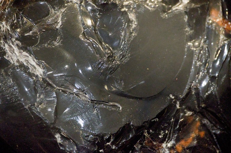
- Extrusive (Volcanic) Igneous Rocks: Form when lava erupts onto the surface and cools rapidly, producing fine-grained or glassy textures (e.g., basalt, obsidian).
These rocks provide valuable information about conditions deep within the Earth and the dynamics of volcanic activity.
Sedimentary Rocks: Layers of History
Sedimentary rocks are formed from the accumulation and compaction of sediments (fragments of pre-existing rocks, organic matter, or chemical precipitates). They represent a historical archive of Earth’s surface environments.
- Clastic Sedimentary Rocks: Composed of fragments of other rocks, transported and deposited by water, wind, or ice (e.g., sandstone, shale).
- Chemical Sedimentary Rocks: Form from the precipitation of minerals from solution (e.g., limestone, rock salt).
- Organic Sedimentary Rocks: Form from the accumulation of organic material (e.g., coal, chalk).
Sedimentary rocks often contain fossils, providing direct evidence of past life and ancient climates. Their layered structure is a chronicle of Earth’s environmental changes over geological time.
Metamorphic Rocks: Transformed by Pressure and Heat
Metamorphic rocks are formed when existing rocks (igneous, sedimentary, or other metamorphic rocks) are subjected to intense heat, pressure, or chemical alteration without complete melting.
- Regional Metamorphism: Occurs over large areas, typically associated with mountain building or deep burial in sedimentary basins.
- Contact Metamorphism: Occurs when existing rocks are heated by contact with an igneous intrusion.
- Foliation: A common feature in many metamorphic rocks, where minerals are aligned in parallel layers due to immense pressure (e.g., schist, slate).
Metamorphic rocks reveal the intense forces and conditions operating within Earth’s crust, often highlighting zones of tectonic activity.
Earth’s Surface Processes: Sculpting the Landscape
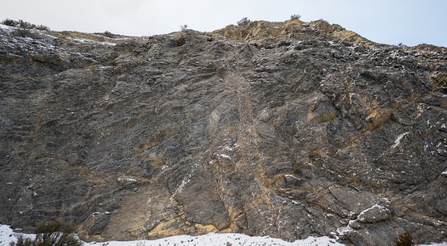
While internal forces drive tectonic activity, surface processes continuously shape landscapes, eroding and depositing material on a grand scale.
Weathering and Erosion: The Earth’s Sculptors
Weathering is the breakdown of rocks, and erosion is the transport of weathered material. These processes are relentless, slowly but surely shaping continents.
- Physical (Mechanical) Weathering: The disintegration of rocks without chemical change (e.g., frost wedging, root wedging, abrasion).
- Chemical Weathering: The decomposition of rocks through chemical reactions (e.g., dissolution of limestone by acidic rain, oxidation of iron-bearing minerals).
- Agents of Erosion: Water (rivers, glaciers, waves), wind, and gravity are the primary agents that transport weathered material. Rivers carve canyons, glaciers sculpt valleys, and wind sweeps across deserts, leaving its mark.
Understanding these processes is crucial for assessing natural hazards like landslides and desertification and for managing soil resources.
Sedimentation and Deposition: Building New Landforms
As eroded material is transported, it eventually settles and accumulates in new locations, forming various depositional landforms.
- Alluvial Fans: Fan-shaped deposits of sediment formed at the base of mountains where streams emerge from confined channels onto a flatter plain.
- Deltas: Triangular landforms created at the mouth of a river where it flows into an ocean or lake, depositing sediment.
- Moraines: Accumulations of glacial debris, indicating the past extent of glaciers and ice sheets.
These depositional features provide insights into past climatic conditions, sea levels, and geological events.
Geological Time: A Vast and Deep History
Geological time dwarfs human perception, spanning billions of years. Understanding this timescale is essential for appreciating the slow but profound changes that have shaped Earth.
Relative Dating: Ordering Events Without Absolute Ages
Relative dating techniques establish the chronological order of geological events without assigning specific numerical ages.
- Principle of Superposition: In an undisturbed sequence of sedimentary rocks, the oldest layers are at the bottom, and the youngest are at the top. This is a fundamental law in stratigraphy.
- Principle of Original Horizontality: Sedimentary layers are initially deposited horizontally. Any tilting or folding indicates post-depositional deformation.
- Principle of Cross-Cutting Relationships: A geological feature that cuts across another is younger than the feature it cuts (e.g., a fault cutting through sedimentary layers is younger than those layers).
- Principle of Faunal Succession: Fossil organisms succeed one another in a definite and determinable order, allowing for the correlation of rock layers across different regions.
These principles allow geologists to construct a relative timeline of Earth’s history, akin to compiling chapters of a vast, ancient book.
Absolute Dating: Assigning Numerical Ages
Absolute dating methods, primarily radiometric dating, provide numerical ages for rocks and geological events.
- Isotopic Decay: Radioactive isotopes within minerals decay at a constant, measurable rate, allowing geologists to calculate the time elapsed since the mineral crystallized.
- Half-Life: The time it takes for half of the parent radioactive isotope to decay into its stable daughter product. Different isotopes have different half-lives, suitable for dating various age ranges. For instance, Uranium-Lead dating is used for very old rocks, while Carbon-14 dating is applied to relatively recent organic materials.
Through the combined application of relative and absolute dating, geologists have constructed the Geologic Time Scale, a hierarchical framework that divides Earth’s history into eons, eras, periods, and epochs, mapping out major biological and geological events.
Geological sciences encompass a wide range of topics, including the study of Earth’s materials, processes, and history. One fascinating aspect is how tectonic plate movements can lead to significant geological events, such as earthquakes and volcanic eruptions. For those interested in exploring this topic further, a related article can be found at Freaky Science, which delves into the intricate dynamics of plate tectonics and their impact on our planet’s landscape. Understanding these processes is crucial for predicting geological hazards and appreciating the Earth’s ever-changing nature.
The Practical Applications of Geological Sciences: A Foundation for Society
| Metric | Description | Typical Range/Value | Unit |
|---|---|---|---|
| Age of Earth | Estimated time since formation of the Earth | 4.54 billion | years |
| Average Crust Thickness | Thickness of Earth’s continental crust | 30-50 | km |
| Seismic Wave Velocity (P-wave) | Speed of primary seismic waves through Earth’s mantle | 8-13 | km/s |
| Density of Granite | Average density of granite rock | 2.6-2.7 | g/cm³ |
| Plate Tectonic Movement Rate | Average speed of tectonic plate movement | 2-10 | cm/year |
| Earthquake Magnitude (Richter Scale) | Measurement of earthquake energy release | 0-9+ | Magnitude |
| Annual Sediment Deposition | Amount of sediment deposited in river deltas | 0.1-10 | cm/year |
| Porosity of Sandstone | Percentage of void space in sandstone | 5-30 | % |
| Geothermal Gradient | Increase in temperature with depth below Earth’s surface | 25-30 | °C/km |
| Carbonate Rock Composition | Percentage of calcium carbonate in limestone | 50-95 | % |
Beyond academic curiosity, geological sciences offer indispensable knowledge and tools for addressing numerous societal challenges.
Resource Exploration and Management: Powering Our World
Geology plays a fundamental role in locating and extracting the natural resources upon which modern society relies.
- Energy Resources: The exploration for fossil fuels (oil, natural gas, coal) and geothermal energy sources requires a deep understanding of geological structures and processes. The identification of suitable reservoir rocks and traps is a core geological task.
- Mineral Resources: Locating and assessing deposits of metals (e.g., iron, copper, gold) and industrial minerals (e.g., gypsum, aggregates) requires geological mapping, geochemical analysis, and remote sensing. These minerals are essential for infrastructure, manufacturing, and technology.
- Water Resources: Hydrogeology, a sub-discipline, focuses on the distribution and movement of groundwater, a critical resource for drinking water, agriculture, and industry. Understanding aquifers and their susceptibility to contamination is vital.
Effective resource management, guided by geological principles, ensures sustainable extraction and minimizes environmental impact.
Hazard Mitigation: Protecting Lives and Infrastructure
Geological investigations are crucial for understanding, predicting, and mitigating geological hazards, thus protecting human lives and infrastructure.
- Earthquake Hazard Assessment: Geologists study fault lines, seismic activity patterns, and earthquake recurrence intervals to produce hazard maps and inform building codes.
- Volcanic Hazard Assessment: Monitoring volcanic activity, analyzing past eruption patterns, and mapping potential lava flows and ashfall zones help develop early warning systems and evacuation plans.
- Landslide and Slope Stability: Identifying unstable slopes, understanding the triggers of landslides, and recommending mitigation measures such as retaining walls or drainage systems are critical for infrastructure development in mountainous regions.
- Coastal Erosion: Understanding wave dynamics, sediment transport, and sea-level rise allows geologists to propose strategies for coastal protection and management.
By integrating geological insights into urban planning and infrastructure development, societies can become more resilient to natural disasters. It is analogous to understanding the temperament of a powerful, ancient dragon to coexist peacefully.
Environmental Geology: Stewardship of Our Planet
Environmental geology applies geological principles to solve environmental problems and promote sustainable practices.
- Waste Disposal: Identifying suitable geological formations for the safe disposal of hazardous and nuclear waste requires detailed knowledge of hydrogeology and rock mechanics to prevent contamination.
- Pollution Remediation: Geologists assist in understanding the movement of pollutants in groundwater and soil, guiding remediation efforts to clean up contaminated sites.
- Climate Change Research: Geological records, such as ice cores, sedimentary layers, and fossil evidence, provide invaluable data on past climates, helping to contextualize current climate change and project future scenarios. These records are the planet’s vast historical ledger, offering crucial data points for understanding its long-term fluctuations.
Geological sciences thus equip us with the knowledge to interpret Earth’s monumental history, understand its dynamic present, and prepare for its future. The secrets it unveils are not merely academic curiosities but fundamental insights essential for humanity’s continued prosperity and survival on this remarkable planet. It is an invitation to engage with the very foundations of our world.
FAQs
What is geological sciences?
Geological sciences is the study of the Earth, including its materials, processes, history, and the organisms that have inhabited it. It encompasses various subfields such as mineralogy, paleontology, volcanology, and seismology.
What are the main branches of geological sciences?
The main branches include mineralogy (study of minerals), petrology (study of rocks), paleontology (study of fossils), sedimentology (study of sedimentary rocks and processes), volcanology (study of volcanoes), and seismology (study of earthquakes).
How do geological scientists study the Earth?
Geological scientists use fieldwork to collect samples, laboratory analysis to study rock and mineral properties, remote sensing technologies, and computer modeling to understand geological processes and Earth’s history.
Why is geological science important?
Geological science helps us understand natural hazards like earthquakes and volcanic eruptions, locate natural resources such as minerals and fossil fuels, manage environmental issues, and study climate change through Earth’s history.
What tools are commonly used in geological sciences?
Common tools include rock hammers, microscopes, GPS devices, seismographs, drilling equipment, and software for mapping and modeling geological data.