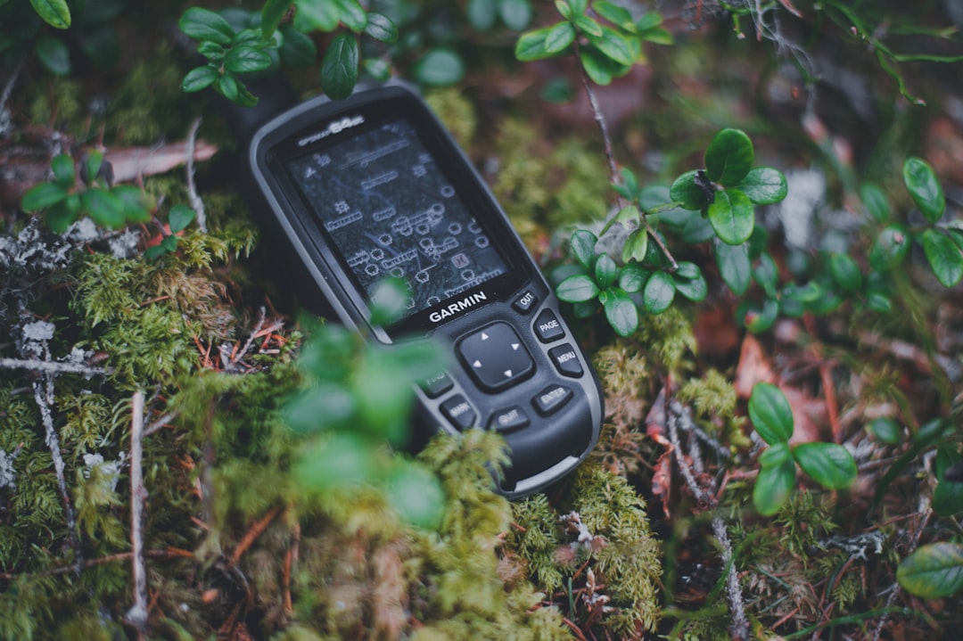
You hold it in your hand, a sleek rectangle of glass and metal. It’s your portal to the world, your personal assistant, your entertainment hub. But have you ever stopped to think about what’s happening behind the scenes when you’re navigating through unfamiliar streets, tracking your morning run, or even just playing a location-based game? The answer, in a word, is satellites. Yes, your phone is in constant, albeit brief, communication with a network of orbiting spacecraft, the Global Positioning System (GPS) satellites, to be precise. It’s a silent, invisible dance of radio signals that underpins so much of your daily digital life. You might not consciously initiate this conversation, but your phone is diligently listening, processing, and ultimately, telling you exactly where you are on this vast planet.
The Invisible Hands Guiding You: How Your Phone Finds You
You’re probably familiar with the little blue dot on your navigation app, a seemingly magical marker that accurately reflects your position. But how does it get there? It’s not a black box; it’s a marvel of engineering and physics. Your phone, when it needs to determine your location, activates its GPS receiver. This receiver is designed to pick up faint radio signals transmitted by the GPS satellites orbiting approximately 20,200 kilometers (12,550 miles) above Earth. These satellites aren’t just floating aimlessly; they’re part of a carefully orchestrated constellation, ensuring that at any given point on Earth, at least four satellites are visible.
The Anatomy of a GPS Signal: More Than Just Coordinates
Each GPS satellite broadcasts a unique signal. This signal carries a wealth of information, but the most crucial for your phone are two key pieces: the satellite’s precise orbital position (its ephemeris data) and the exact time the signal was sent. This second piece of information is absolutely critical. The satellites are equipped with incredibly accurate atomic clocks, ticking with astonishing precision. Your phone, on the other hand, has a less precise clock. The difference in arrival time between when the signal was sent by the satellite and when your phone receives it is directly related to the distance between the two.
Understanding how your phone communicates with GPS satellites is crucial for grasping the technology behind location services. For a deeper dive into this topic, you can explore the article that discusses the intricacies of satellite communication and its applications in everyday life. Check it out here: Freaky Science.
Triangulation and the Magic of Three (or Four) Points
So, how does receiving these time-stamped signals translate into a location? This is where the concept of trilateration (often colloquially referred to as triangulation in this context) comes into play. Imagine drawing circles on a map. If you know you are exactly 10 miles from City A, you could be anywhere on a circle with a radius of 10 miles around City A. This isn’t enough to pinpoint your exact location. However, if you also know you are 15 miles from City B, you can draw another circle around City B. The points where these two circles intersect represent two possible locations.
The Power of the Fourth Satellite: Eliminating Ambiguity
Adding a third satellite, and knowing your distance from it, further narrows down the possibilities. The intersection of three circles will ideally result in just one or two points. However, your phone’s clock isn’t perfectly synchronized with the atomic clocks on the satellites. This slight discrepancy introduces an error, making your calculated distances a little off. This is where the fourth satellite becomes indispensable. By using signals from a fourth satellite, your phone can calculate and correct for this clock error, effectively solving for four unknowns: your latitude, longitude, altitude, and the time offset of your phone’s clock. This process allows for a highly accurate determination of your position on Earth.
Beyond the Blue Dot: Other GNSS Systems Your Phone Uses
While GPS is the most well-known, it’s not the only global navigation satellite system (GNSS) out there. Many modern smartphones are equipped to receive signals from other constellations, offering enhanced accuracy and reliability. These include:
GLONASS: Russia’s Contribution to Global Navigation
The Global Navigation Satellite System (GLONASS) is Russia’s equivalent to GPS. Like GPS, it comprises a constellation of satellites orbiting Earth. By also listening to GLONASS signals, your phone can access a larger pool of satellites, potentially improving the speed and accuracy of your location fix, especially in environments where GPS signals might be obstructed.
Galileo: Europe’s Precision Navigation System
Galileo is the European Union’s civilian-controlled GNSS. It’s designed to be highly accurate and interoperable with GPS. This means your phone can seamlessly switch between or combine signals from both GPS and Galileo satellites. This redundancy is incredibly beneficial, especially in dense urban areas or mountainous regions where line-of-sight to satellites can be challenging.
BeiDou: China’s Growing GNSS Network
BeiDou is China’s own satellite navigation system. As it continues to expand and mature, it offers another layer of global coverage. Many smartphones are now capable of receiving BeiDou signals, further increasing the number of available satellites for your device to communicate with.
The Constant Conversation: When Your Phone is Talking to the Sky
You might be wondering if your phone is constantly pinging satellites. The answer is nuanced. Your phone doesn’t actively “talk” to the satellites in the sense of sending them commands or data. Instead, it’s primarily a listener. When an application or the operating system requires your location, your phone’s GPS receiver springs into action. This involves:
Activating the GPS Chip: The Moment of Connection
The GPS chip within your phone is typically dormant to conserve battery power. When a location request is made, the chip is powered up. This process itself takes a small amount of time and energy.
Searching for Signals: The Satellite Scavenger Hunt
Once active, the GPS receiver begins scanning the radio spectrum for signals from the visible satellites. It’s like tuning a radio to find your favorite station. The receiver looks for the specific frequencies used by GPS and other GNSS constellations.
Acquiring and Tracking: Locking onto the Orbiters
When a signal is detected, the receiver attempts to “acquire” it. This means synchronizing with the satellite’s broadcast. Once acquired, the receiver enters a “tracking” mode, continuously receiving the signal to maintain an accurate understanding of the satellite’s position and the precise timing of its transmissions.
Ephemeris and Almanac Data: The Satellites’ Travelogue
Each satellite periodically broadcasts its ephemeris data, which is a precise description of its orbit. It also transmits almanac data, which provides a less precise but broader overview of the entire constellation’s orbital parameters. Your phone downloads and uses this information to predict where the satellites will be in the sky and to make more efficient calculations.
Many people often wonder how their phones are able to pinpoint their location so accurately, and a great resource to explore this topic further is an article that delves into the intricacies of satellite communication. If you’re curious about the technology behind GPS and how it interacts with your device, you can read more in this informative piece on Freaky Science. Understanding these concepts can enhance your appreciation for the technology that keeps you connected and informed.
Why Your Phone Needs Multiple Satellites: The Art of Precise Pinpointing
As discussed earlier, the magic of location determination lies in the number of satellites your phone can communicate with. The more satellites your phone can “see” and receive signals from, the more accurate your position will be. This is because:
Improving Accuracy with More Data Points: A Statistical Advantage
Each satellite provides an independent measurement of your distance from it. With more measurements, your phone’s internal algorithms can perform statistical analysis, averaging out minor errors and providing a more refined estimate of your position. Think of it like taking multiple measurements of the same object; the more measurements you take, the more confident you can be about the true value.
Overcoming Obstructions: Navigating Through the Urban Jungle
In urban environments, tall buildings can block or reflect satellite signals, a phenomenon known as “multipath interference.” Similarly, in dense forests or canyons, the sky might be partially obscured. By having access to a larger number of satellites from different constellations, your phone increases its chances of having at least four satellites with clear lines of sight, even in challenging environments.
Faster Time to First Fix (TTFF): Getting You on Your Way Quicker
The “Time to First Fix” (TTFF) is the time it takes for your phone to determine its initial location after being powered on or losing its signal. With access to multiple GNSS systems, your phone can often acquire signals from a greater number of satellites more quickly, leading to a faster TTFF and reducing the frustrating wait to see your blue dot appear.
The Silent Partners in Your Digital Life: Applications Relying on Your Location
The ability of your phone to communicate with GPS satellites isn’t just for your navigation app. This location data is a fundamental building block for a vast array of applications and services that have become integral to your daily life.
Navigation and Mapping: The Obvious Beneficiary
This is perhaps the most direct and apparent use of GPS. From finding the fastest route to your next appointment to exploring a new city, mapping applications like Google Maps, Apple Maps, and Waze rely entirely on your phone’s ability to communicate with satellites to know where you are and where you’re going.
Social Media and Geotagging: Sharing Your Adventures
When you post a photo on Instagram or a status update on Facebook, you often have the option to “tag” your location. This geotagging feature uses your phone’s GPS data to associate your content with a specific place, allowing your friends and followers to see where you’ve been and what you’ve been up to.
Location-Based Services and Recommendations: Personalized Experiences
Many apps leverage your location to provide relevant information and services. Think about ride-sharing apps like Uber and Lyft, which use your GPS to find nearby drivers and calculate fares. Or consider apps that offer local restaurant recommendations, weather updates specific to your area, or even targeted advertisements based on your proximity to certain businesses.
Fitness Tracking and Sports Apps: Measuring Your Progress
If you’re a runner, cyclist, or hiker, your fitness tracker or sports app likely uses GPS to record your route, distance, speed, and elevation changes. This data is invaluable for tracking your progress, setting goals, and comparing your performance over time.
Emergency Services: When Every Second Counts
In a true emergency, your phone’s GPS capability can be a lifesaver. When you call emergency services, your location data can be transmitted to dispatchers, allowing them to send help to your exact position, even if you’re unable to provide it yourself. This is a crucial aspect of modern emergency response.
The Future of Location: Enhanced Accuracy and New Possibilities
The technology behind your phone’s communication with GPS satellites is constantly evolving. As GNSS constellations are upgraded and new technologies emerge, you can expect even more precise and reliable location services in the future. This could pave the way for a new generation of location-aware applications and experiences that we can only begin to imagine. So, the next time you glance at your phone’s map, remember the silent, invisible network of satellites working tirelessly to keep you connected to your world. It’s a remarkable feat of engineering that you, quite literally, hold in the palm of your hand.

Your Phone Can Still Know Where You Are in Airplane Mode
FAQs
1. How does my phone communicate with GPS satellites?
GPS-enabled smartphones communicate with GPS satellites through a process called trilateration. The phone receives signals from multiple satellites and uses the timing of these signals to calculate its exact location.
2. How accurate is the GPS on my phone?
The accuracy of GPS on a phone can vary, but in general, it can provide location information within a few meters. Factors such as signal interference, buildings, and weather can affect the accuracy of GPS on a phone.
3. Can my phone communicate with GPS satellites without an internet connection?
Yes, GPS on a phone does not require an internet connection to communicate with GPS satellites. The phone’s GPS receiver can pick up signals directly from the satellites to determine its location.
4. How many GPS satellites does my phone communicate with?
The GPS system consists of a constellation of 24 satellites orbiting the Earth. Your phone typically communicates with at least 4 of these satellites to determine its location.
5. Can my phone communicate with GPS satellites in any location on Earth?
In general, GPS-enabled phones can communicate with GPS satellites from anywhere on Earth, as long as there is a clear line of sight to the sky. However, in areas with dense foliage, tall buildings, or underground, the GPS signal may be weaker or unavailable.