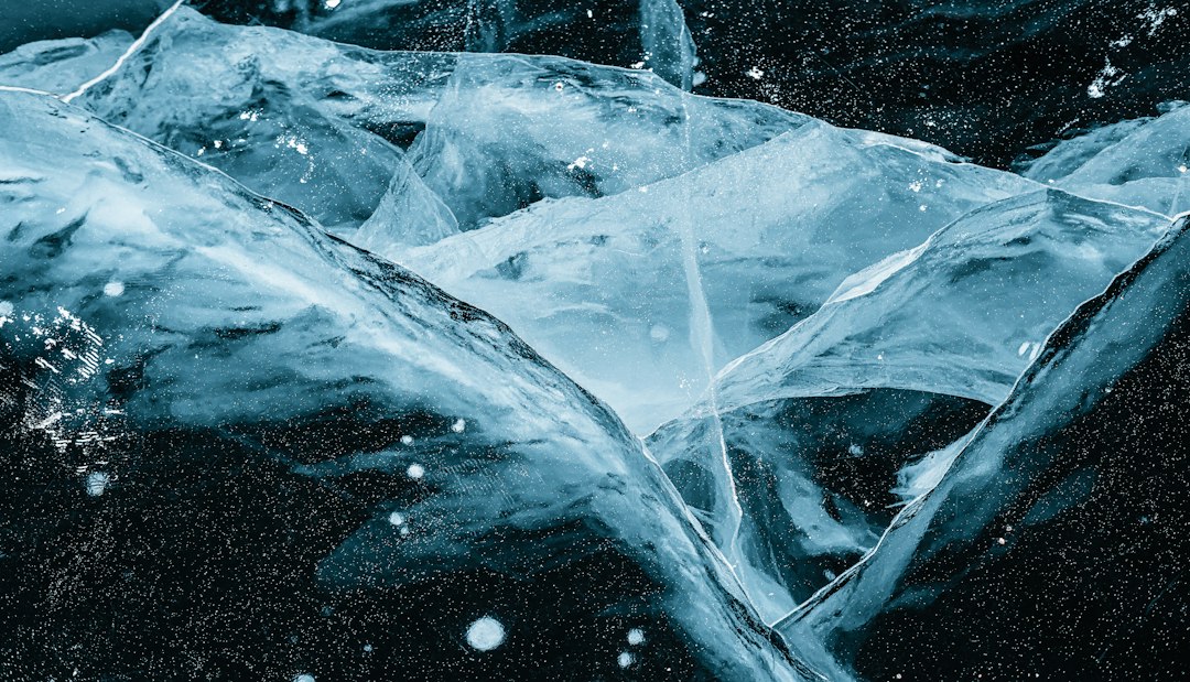
Unveiling Subterranean Frost: A New Frontier in Earth’s Cryosphere
For decades, the Earth’s cryosphere – the frozen realm encompassing glaciers, ice sheets, permafrost, and sea ice – has been a subject of intense scientific scrutiny. Its dramatic responses to a warming climate have made it a bellwether for global environmental change. Yet, beneath the familiar expanse of surface ice and frozen ground, a novel and potentially vast reservoir of frozen water has been unveiled: pockets of ice hidden deep beneath the Earth’s surface, in locations previously considered entirely thawed. This groundbreaking discovery, emerging from a confluence of advanced geophysical techniques and innovative data analysis, is reshaping our understanding of subsurface hydrology, permafrost dynamics, and the Earth’s thermal regime. It suggests that the inventory of frozen water on our planet may be far more complex and extensive than previously imagined, with significant implications for scientific research, resource management, and even our perception of the planet’s past and future.
Recent studies have uncovered intriguing findings about ice deposits hidden beneath the surface of glaciers, revealing pockets of ancient ice that could provide valuable insights into past climate conditions. For a deeper understanding of this phenomenon, you can read a related article that explores the implications of these hidden ice reserves on climate science and environmental changes. Check it out here: Freaky Science.
The Genesis of Discovery: Advanced Sensing Meets Subsurface Enigma
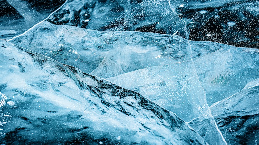
The revelation of these hidden ice deposits did not spring from a single eureka moment, but rather from a persistent refinement of scientific tools and a willingness to explore the unexpected. Traditional methods of ice detection primarily focused on surface features or shallow subsurface probes. However, the advent and widespread application of sophisticated geophysical surveying technologies have opened up new avenues for peering deep into the Earth’s crust.
Ground Penetrating Radar’s Evolving Reach
Ground Penetrating Radar (GPR), a non-invasive geophysical method that uses radar pulses to image the subsurface, has been instrumental in this quest. While historically limited to shallow depths, advancements in antenna design, signal processing, and data interpretation have significantly extended its effective range. Researchers have developed specialized GPR systems capable of penetrating hundreds of meters into the ground, allowing for the detection of distinct electrical properties associated with frozen water. Anomalies in GPR signals, characterized by high reflectivity and specific waveform patterns, have served as initial indicators of ice presence.
Seismic Tomography and Electrical Resistivity’s Contributions
Complementing GPR, seismic tomography and electrical resistivity surveys have provided further corroboration. Seismic methods involve generating and recording seismic waves that travel through the Earth. The speed at which these waves propagate is significantly influenced by the physical properties of the subsurface materials, including the presence of ice, which tends to slow seismic waves. Electrical resistivity surveys, on the other hand, measure the opposition of a material to the flow of electric current. Ice, being a poor conductor, creates distinct resistivity signatures that can be differentiated from unfrozen water-saturated soils or rock. By integrating data from these multiple geophysical techniques, scientists can build a more robust and nuanced picture of subsurface composition.
Computational Power and Machine Learning Unlock Patterns
The sheer volume of data generated by these advanced geophysical surveys would be overwhelming without the aid of modern computational power and sophisticated algorithms. Machine learning and artificial intelligence are playing an increasingly vital role in analyzing these vast datasets. Pattern recognition algorithms can identify subtle anomalies and correlations that might be missed by human observation, effectively sifting through noise to pinpoint potential ice signatures. These computational tools are crucial for distinguishing between true ice deposits and other subsurface features that might exhibit similar geophysical responses.
Characterizing the Subterranean Frost: Composition, Distribution, and Conditions
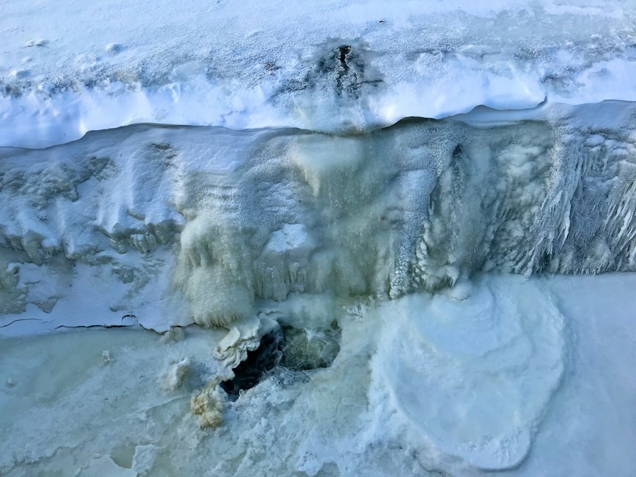
The discovery of these hidden ice deposits has prompted a flurry of research aimed at understanding their nature, extent, and the environmental conditions that permit their existence. What exactly are these deposits made of? Where are they found? And what allows them to persist in seemingly unfrozen environments?
Compositional Diversity: From Pure Ice to Ice-Rich Sediments
Initial analyses suggest a range of compositions for these subterranean ice deposits. Some appear to consist of relatively pure ice, akin to glacial ice or clean permafrost, while others are found within ice-rich sediments, where ice acts as a binding agent for soil particles. The presence of impurities, such as dissolved salts or organic matter, can significantly influence the freezing point of water, leading to the formation of ground ice even at temperatures slightly above 0°C. The geological context of these deposits plays a crucial role in determining their composition.
Geographic Distribution: Beyond the Permafrost Paradigm
One of the most surprising aspects of this discovery is the potential for these ice deposits to exist outside the traditionally defined permafrost regions. While the presence of ice in permafrost is well-established, these newly identified pockets are being found in areas previously believed to be entirely unfrozen, including temperate and even some warmer climates. This suggests that localized geological conditions, such as impermeable layers of rock or clay that trap moisture, combined with specific hydrological pathways and microclimates, can create conditions conducive to ice formation and preservation even at depths where ambient temperatures are consistently above freezing.
Formation Mechanisms: Trapped Water and Geothermal Influences
The formation mechanisms for these deep, hidden ice deposits are still under active investigation. Several hypotheses are being explored. One prominent theory suggests that in certain geological settings, impermeable bedrock or sediment layers can trap substantial volumes of water. Over long periods, and under specific thermal conditions, this trapped water can freeze. Another possibility involves the upward migration of deeply frozen groundwater from underlying permafrost regions, which can then become trapped in shallower, unfrozen zones. Furthermore, localized geothermal anomalies or variations in heat flow from the Earth’s interior could also play a role in creating temperature gradients that favor ice formation and stability. The interplay between hydrological processes, geological structure, and thermal regimes is crucial for understanding how these pockets come into existence and persist.
Implications for Scientific Understanding: Rethinking Earth’s Water Cycle and Climate Archives
The discovery of extensive, hidden ice deposits carries profound implications for our understanding of fundamental Earth science processes, from the global water cycle to the interpretation of past climate conditions. This new layer of complexity within the cryosphere necessitates a reevaluation of existing models and the development of new research paradigms.
Redefining the Global Water Inventory
The addition of these subterranean ice reservoirs to our planetary inventory of fresh water is significant. While their precise volume remains to be quantified, preliminary estimates suggest they could represent a substantial, previously unaccounted-for component of the Earth’s total freshwater reserves. This has implications for hydrology, resource management, and our understanding of how water moves and is stored within the Earth’s crust. The long-term stability and potential melt rates of these deposits under future climate scenarios also warrant careful consideration.
Unlocking New Paleoclimate Archives
Subsurface ice, particularly that found in stable, long-term deposits, can act as a pristine archive of past environmental conditions. Trapped within the ice are ancient air bubbles, dust particles, and isotopic signatures that can provide invaluable insights into past atmospheric composition, temperature, and precipitation patterns. These newly discovered pockets, especially if found in regions with limited traditional ice core records, could offer entirely new windows into Earth’s climatic history, potentially extending our knowledge of past climate variability much further back in time and across different geographical locations. The ability to access and analyze these previously unknown archives could revolutionize paleoclimatology.
Understanding Permafrost Degradation and Beyond
The presence of ice in areas previously considered ice-free has direct relevance to the ongoing study of permafrost degradation. It highlights that the boundaries of frozen ground are not always sharp and that complex thermal regimes can exist. This discovery prompts questions about how these hidden ice deposits might respond to rising global temperatures. Will they melt? If so, what will be the consequences for the overlying geology, ground stability, and the release of trapped gases? Understanding these deep ice formations is crucial for refining models of permafrost thaw and its associated feedback mechanisms on climate.
Recent research has uncovered fascinating insights into the hidden pockets of ice deposits that exist beneath the surface of glaciers. These concealed reservoirs play a crucial role in understanding climate change and its impact on sea levels. For a deeper dive into this topic, you can explore a related article that discusses the implications of these ice deposits on global warming and environmental shifts. Check it out here to learn more about the science behind these mysterious ice formations.
Potential Impacts and Future Research: Resource Management and Climate Modeling
| Metric | Description | Value | Unit |
|---|---|---|---|
| Average Depth | Depth at which ice deposit hidden pockets are typically found | 15 | meters |
| Ice Purity | Percentage of pure ice content in hidden pockets | 85 | % |
| Temperature Range | Typical temperature range where ice pockets remain stable | -10 to -30 | °C |
| Size Range | Typical size range of hidden ice pockets | 0.5 to 3 | cubic meters |
| Detection Probability | Likelihood of detecting hidden ice pockets using current technology | 70 | % |
| Location | Common geographical locations for ice deposit hidden pockets | Polar regions, high-altitude caves | N/A |
The ramifications of this discovery extend beyond academic curiosity, touching upon practical considerations for resource management and the accuracy of climate models. The potential for these ice deposits to influence human activities and to provide critical data for understanding future climate trajectories is considerable.
Geotechnical and Engineering Challenges
The presence of significant ice deposits beneath the surface, especially in areas not accustomed to such phenomena, presents novel geotechnical and engineering challenges. Construction projects, infrastructure development, and resource extraction in these regions will need to account for the potential for ground instability, subsidence, and altered hydrological pathways that the melting or thawing of these ice pockets could induce. Understanding the depth, extent, and thermal regime of these deposits will be paramount for safe and sustainable development.
Implications for Groundwater and Water Resource Management
The interaction between these hidden ice deposits and regional groundwater systems is a critical area for future research. Melting ice could contribute to or alter groundwater recharge rates, potentially impacting water availability for human consumption, agriculture, and ecosystems. Conversely, changes in groundwater flow and temperature could influence the stability of the ice deposits themselves. A comprehensive understanding of this hydrological interplay is essential for effective water resource management in affected regions.
Enhancing Climate Models and Predicting Future Scenarios
The incorporation of these deep ice deposits into global climate models is a critical next step. Current models often focus on surface and near-surface ice and permafrost. The inclusion of these deeper, potentially more extensive ice reservoirs will improve the accuracy of simulations related to the Earth’s energy balance, the hydrological cycle, and the potential for positive feedback loops, such as the release of greenhouse gases from thawing organic matter. This will lead to more robust predictions of future climate change and its impacts.
The Path Forward: Mapping, Monitoring, and Mitigation Strategies
The initial discovery of these hidden ice deposits is merely the opening chapter in a much larger scientific narrative. The coming years will be characterized by intensive efforts to map, monitor, and understand these enigmatic features, paving the way for more effective strategies to address their potential impacts.
Comprehensive Subsurface Mapping Initiatives
A priority for future research will be the development of comprehensive mapping initiatives to delineate the extent and characteristics of these hidden ice deposits across the globe. This will involve the continued application and refinement of advanced geophysical techniques, as well as the establishment of standardized methodologies for data acquisition and interpretation. Integrating data from various sources, including geological surveys, remote sensing, and borehole data, will be crucial for creating detailed subsurface ice maps.
Long-Term Monitoring Networks and Observational Studies
Establishing long-term monitoring networks will be essential for tracking changes in the thermal state and stability of these subterranean ice deposits over time. This will likely involve deploying in-situ sensors, such as temperature probes and ground moisture detectors, in strategically chosen locations. Continuous observational studies will provide the data necessary to assess the rate of thaw, understand the contributing factors, and refine predictions of future behavior under evolving climatic conditions.
Developing Adaptation and Mitigation Strategies
Based on a growing understanding of these hidden ice deposits, strategies for adaptation and mitigation will need to be developed. This could include implementing advanced engineering practices for construction in ice-prone areas, developing sustainable water management plans that account for potential changes in groundwater availability, and exploring methods to limit greenhouse gas emissions associated with thawing permafrost and deep ice. Furthermore, continued research into the paleoclimate information contained within these deposits will inform our understanding of natural climate variability and guide efforts to address anthropogenic climate change. The discovery of these hidden ice pockets underscores the dynamic and often surprising nature of our planet and the continuous need for scientific exploration and innovation.
Water Boiled While Ice Formed. Could a Lander Sink Into It?
FAQs
What are ice deposit hidden pockets?
Ice deposit hidden pockets are small, isolated areas within glaciers or ice sheets where ice has accumulated over time, forming pockets or layers of ice that are hidden from view.
How are ice deposit hidden pockets formed?
These pockets are typically formed when snow accumulates in a certain area, gets compressed over time, and eventually turns into ice. Factors such as temperature, pressure, and the movement of the glacier can contribute to the formation of these hidden pockets.
Why are ice deposit hidden pockets important?
Ice deposit hidden pockets can provide valuable information about past climate conditions, as the ice layers within them can act as a record of environmental changes over time. Scientists study these pockets to learn more about the Earth’s climate history.
Where are ice deposit hidden pockets usually found?
Ice deposit hidden pockets are commonly found in polar regions, such as Antarctica and Greenland, where large ice sheets and glaciers are present. These regions offer ideal conditions for the formation and preservation of these hidden ice pockets.
How do scientists study ice deposit hidden pockets?
Scientists use various techniques, such as ice core drilling and remote sensing, to study ice deposit hidden pockets. By analyzing the ice layers within these pockets, researchers can gather valuable data about past climate conditions and make predictions about future climate trends.