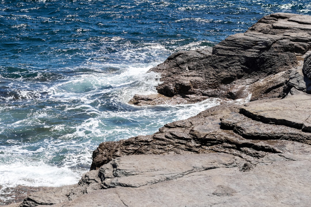
The Labrador Sea, a vast and often formidable expanse of the North Atlantic Ocean, holds a profound secret in its depths: ocean sinking zones. These regions are not merely patches of water but vital conduits in the complex circulatory system of our planet’s oceans, playing a critical role in climate regulation and the global distribution of heat and nutrients. To understand the Labrador Sea’s sinking zones is to peer into the engine room of oceanic and atmospheric processes that ripple across continents.
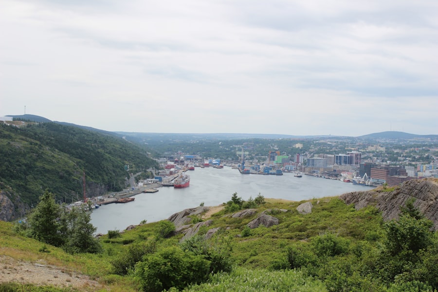
The Labrador Sea occupies a strategic position between Greenland and Newfoundland. Its formidable weather, characterized by fierce winds and ice, has long deterred widespread human exploration in comparison to more temperate waters. However, beneath this turbulent surface lies a critical zone of thermohaline circulation, often referred to as the Atlantic Meridional Overturning Circulation (AMOC). This massive conveyor belt of ocean currents is powered by differences in water temperature and salinity.
Geographical Context and Oceanographic Significance
The Labrador Sea is bordered by the Canadian province of Newfoundland and Labrador to the west and south, and by Greenland to the east. Its bathymetry is marked by a deep trough known as the Labrador Sea Basin, which plunges to depths exceeding 4,000 meters. This abyssal plain provides the stage for the dramatic processes of deep water formation that occur here. The sea also connects to the Arctic Ocean via the Greenland-Iceland-Faroe Ridge system, influencing the exchange of water masses between these vital oceanographic regions.
Historical Observations and Early Insights
Early mariners and explorers, while not fully comprehending the deep ocean processes, recognized the unique characteristics of Labrador Sea waters. Observations of unusually cold and dense water masses, particularly during winter months, hint at the formation of deep waters. Scientific expeditions in the 20th century began to systematically measure oceanographic parameters, gradually revealing the crucial role of the Labrador Sea in the broader oceanic system. These early studies laid the groundwork for more sophisticated investigations into its sinking zones.
Recent studies have highlighted the significance of ocean sinking zones, particularly in the Labrador Sea, where deep water formation plays a crucial role in regulating global climate patterns. For a deeper understanding of this phenomenon and its implications on oceanic currents and climate change, you can explore a related article on this topic at Freaky Science. This resource delves into the intricate processes occurring in these sinking zones and their impact on marine ecosystems.
Understanding Sinking Zones: A Fundamental Oceanographic Concept
Ocean sinking zones, often termed sites of deep water formation, are areas where surface water cools and becomes denser, causing it to sink to great depths. This dense water then flows southward, forming a critical component of the global ocean circulation. The Labrador Sea is one of the primary locations on Earth where this vital process takes place. It is like a giant, slow-moving escalator for water, transporting heat and carbon to the ocean floor.
The Role of Cooling and Salinity
The sinking process is driven by two primary factors: cooling and increased salinity. During winter, the surface waters of the Labrador Sea are exposed to extremely cold air masses, leading to significant heat loss. Simultaneously, sea ice formation expels salt, further increasing the salinity of the surrounding water. As water becomes colder and saltier, its density increases, making it heavier than the water above.
Density-Driven Convection and Vertical Mixing
When surface water reaches a critical density threshold, it begins to sink. This process, known as convection, creates vigorous vertical mixing that extends from the surface to the ocean floor. This mixing is crucial for transporting oxygen and nutrients from the surface to the deep ocean, sustaining life in otherwise barren abyssal environments. It’s akin to the Earth’s lungs drawing breath, pulling in surface air and pushing it down into its depths.
The Formation of Labrador Sea Water (LSW)
The sinking of these dense surface waters in the Labrador Sea gives rise to a distinct water mass known as Labrador Sea Water (LSW). LSW is characterized by its cold temperature (around 3°C), relatively high salinity, and oxygen-rich properties. Once formed, LSW flows southward as a deep western boundary current, contributing to the lower limb of the AMOC.
Processes Driving Sinking in the Labrador Sea
The formation of LSW is not a constant phenomenon. It is influenced by a complex interplay of atmospheric conditions and oceanic processes that vary from year to year. The efficiency of sinking can be profoundly affected by decadal-scale climate oscillations.
Winter Convection and Deep Water Formation Events
The most intense sinking events occur during harsh Arctic winters when the sea ice cover is extensive and atmospheric cooling is most pronounced. These periods of strong convection are crucial for replenishing the deep ocean with newly formed LSW. Scientific observations employ a suite of instruments to monitor these events, from autonomous floats to research vessels.
The Influence of Sea Ice Formation
Sea ice formation acts as a powerful engine for increasing the salinity of surface waters. As ice crystals form, they exclude salt, leaving behind a brine that significantly elevates the density of the unfrozen water. The extent and duration of sea ice cover in the Labrador Sea are therefore critical determinants of the strength of deep water formation.
Atmospheric Forcing and Heat Fluxes
The magnitude of heat loss from the ocean surface to the atmosphere is a primary driver of cooling. Strong, cold winds, characteristic of the Labrador Sea, enhance evaporation and sensible heat transfer, accelerating the cooling process. These atmospheric conditions are often linked to larger-scale climate patterns like the North Atlantic Oscillation (NAO).
The Impact of Sinking Zones on Global Ocean Circulation
The sinking of water in the Labrador Sea is a linchpin in the AMOC. This global system of ocean currents acts as a planetary conveyor belt, transporting heat, carbon, and nutrients around the globe, influencing climate patterns on every continent. The Labrador Sea sinking zones are, in essence, the crucial down-welling points of this immense circulatory system.
The Atlantic Meridional Overturning Circulation (AMOC)
The AMOC is a large-scale ocean circulation pattern that dominates the Atlantic Ocean. It transports warm, salty water from the tropics northward towards the North Atlantic. As this water reaches high latitudes, it cools and sinks, forming dense LSW and its Arctic counterpart, very dense overflow water. This dense deep water then flows southward, completing the overturning cycle.
Transport of Heat and its Climatic Implications
The AMOC plays a significant role in moderating the climate of Europe, transporting heat northward that would otherwise remain in the tropics. Changes in the strength of the AMOC, particularly the sinking rates in regions like the Labrador Sea, can have profound implications for global and regional climate. A weakening of the AMOC could lead to cooler conditions in Europe and altered precipitation patterns elsewhere.
Carbon Sequestration and the Biological Pump
Deep water formation also plays a role in the ocean’s capacity to absorb and store atmospheric carbon dioxide. As surface waters sink, they carry dissolved carbon with them to the deep ocean. This process, part of the “biological pump,” is crucial for regulating atmospheric CO2 concentrations and mitigating climate change. The Labrador Sea’s sinking zones are thus a vital part of Earth’s carbon cycle.
Recent studies have highlighted the significance of ocean sinking zones, particularly in the Labrador Sea, where unique oceanographic processes play a crucial role in global climate regulation. For a deeper understanding of these phenomena, you can explore a related article that delves into the intricate dynamics of ocean currents and their impact on marine ecosystems. This insightful piece can be found here, offering valuable information on the subject.
Monitoring and Research into Labrador Sea Sinking Zones
| Metric | Value | Unit | Description |
|---|---|---|---|
| Depth of Sinking Zone | 2000-3000 | meters | Typical depth range where deep water formation occurs in the Labrador Sea |
| Water Temperature | 1.5 | °C | Average temperature of water in the sinking zone during winter |
| Salinity | 34.9 | PSU | Practical Salinity Units, indicating salt concentration in the sinking zone |
| Density | 1027 | kg/m³ | Density of seawater in the sinking zone, contributing to sinking process |
| Deep Water Formation Rate | 1.2 | Sverdrups (Sv) | Volume of water sinking per second (1 Sv = 1 million m³/s) |
| Seasonal Variation | Winter Peak | – | Period when sinking activity is highest due to cooling and increased density |
The importance of the Labrador Sea’s sinking zones has spurred significant scientific research and ongoing monitoring efforts. Understanding the variability and potential future changes in these regions requires sophisticated observational techniques and modeling.
Observational Platforms and Technologies
A variety of tools are employed to study the Labrador Sea’s sinking zones. These include:
- Argo Floats: Autonomous profilers that drift with currents and measure temperature, salinity, and other oceanographic parameters, transmitting data via satellite. Many Argo floats are programmed to dive to significant depths, allowing them to sample the newly formed deep water.
- Oceanographic Research Vessels: Ships equipped with advanced instruments for surveying, sampling water masses, and deploying instruments. They provide high-resolution data and allow for direct observation of sinking events.
- Moored Arrays: Fixed instruments deployed at specific locations to provide continuous time-series data on currents, temperature, salinity, and other variables.
- Satellite Remote Sensing: Satellites provide broad-scale data on sea surface temperature, sea ice extent, and ocean color, which can be used to infer broader oceanic conditions relevant to sinking processes.
Climate Change and Future Projections
Scientists are increasingly concerned about the potential impact of climate change on the Labrador Sea’s sinking zones. Warming oceans and melting glaciers could reduce the density of surface waters, potentially weakening or even disrupting the sinking process and the AMOC. This is a critical area of research, with projections suggesting a significant weakening of the AMOC over the coming decades.
Modeling and Predictive Capabilities
Sophisticated climate and ocean models are crucial for understanding the complex interactions driving sinking in the Labrador Sea and for projecting future changes. These models integrate data from observations to simulate ocean circulation, heat exchange, and water mass formation under various climate scenarios. The accuracy of these models is paramount for informing policy decisions related to climate change mitigation and adaptation.
The Labrador Sea’s ocean sinking zones are not just remote curiosities but vital components of a planetary system. Their health and stability are intrinsically linked to global climate patterns, carbon cycling, and the overall health of our oceans. Continued scientific investigation into these profound oceanic engines is indispensable for understanding and responding to the challenges of a changing world.
FAQs
What are ocean sinking zones?
Ocean sinking zones, also known as downwelling areas, are regions in the ocean where surface water becomes denser and sinks into deeper layers. This process is crucial for global ocean circulation and helps transport oxygen and nutrients to deeper waters.
Where is the Labrador Sea located?
The Labrador Sea is located in the North Atlantic Ocean, between the Labrador Peninsula of Canada and Greenland. It is a key area for studying ocean sinking zones due to its role in deep water formation.
Why is the Labrador Sea important for ocean sinking zones?
The Labrador Sea is one of the primary sites of deep water formation in the North Atlantic. Cold, dense water sinks here, contributing to the Atlantic Meridional Overturning Circulation (AMOC), which influences global climate and ocean currents.
What factors contribute to sinking zones in the Labrador Sea?
Sinking in the Labrador Sea is driven by cooling of surface waters during winter, increased salinity from sea ice formation, and strong winds that mix the water column. These factors increase water density, causing it to sink.
How do scientists study ocean sinking zones in the Labrador Sea?
Scientists use a combination of methods including oceanographic cruises, deploying instruments like Argo floats and moorings, satellite observations, and computer models to monitor temperature, salinity, and currents in the Labrador Sea to understand sinking processes.