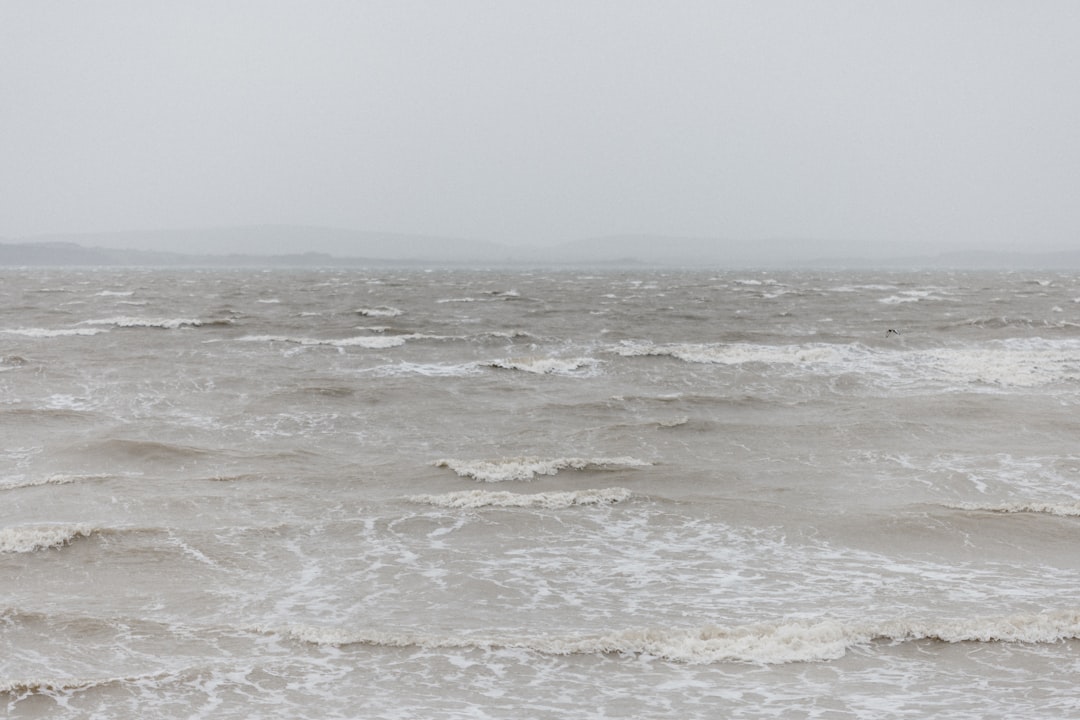
Boston, a city sculpted by the sea and defined by its historical proximity to the Atlantic, faces an increasingly formidable challenge: the specter of intensified coastal flooding. This perennial threat, once a manageable inconvenience, is now amplified by the escalating impacts of climate change, particularly the increased frequency and severity of nor’easters. These powerful storms, born from the collision of cold continental air and warm ocean currents, have long been a hallmark of the region’s weather, but their destructive potential is being rewritten by rising sea levels and atmospheric warming. For Boston, a sprawling metropolis with an extensive waterfront, this presents a complex web of environmental, economic, and social vulnerabilities.
Nor’easters, often characterized by their relentless, driving rain, gale-force winds, and significant snowfall in colder months, are potent meteorological engines that draw their energy from the ocean. Their name derives from the direction of the strongest winds, which typically blow inland from the northeast.
Origin and Development
The genesis of a nor’easter can often be traced to a low-pressure system forming off the southeastern coast of the United States. As this system intensifies, it draws in moisture from the warmer waters of the Atlantic and Caribbean. The differential in temperatures between the cold air mass over land and the warm, moist air over the ocean fuels a rapid drop in atmospheric pressure, a hallmark of cyclogenesis.
The Role of the Gulf Stream
The Gulf Stream, a powerful warm ocean current that flows northward along the eastern seaboard, plays a crucial role in providing the necessary heat and moisture for nor’easter development. Its influence is particularly pronounced during the formation stages, acting as a vital artery pumping energy into the nascent storm.
Interaction of Air Masses
The decisive interaction between the cold, dry air descending from Canada and the warm, moist air rising from the Atlantic is the catalyst for the storm’s explosive growth. This clash of atmospheric titans can create deep low-pressure systems capable of spawning torrential precipitation and hurricane-force winds.
Nor’easters and Coastal Flooding in Boston
The direct impact of a nor’easter on Boston is multifaceted, with coastal flooding emerging as the most immediate and disruptive consequence. The storm surge, a significant rise in sea level above the predicted astronomical tide, is the primary driver of this inundation.
Storm Surge Mechanics
During a nor’easter, powerful onshore winds push vast quantities of ocean water towards the coast, effectively piling it up against the shoreline. This surge is further exacerbated by the low atmospheric pressure associated with the storm, which allows the ocean surface to bulge upwards. For Boston, with its low-lying coastal areas and intricate network of harbors and inlets, even a moderate nor’easter can translate into substantial flooding.
Tidal Amplification
The astronomical tide, the regular rise and fall of sea levels influenced by the gravitational pull of the moon and sun, acts as a baseline. Nor’easters, particularly when making landfall during high tide, can amplify this natural phenomenon. This combination, a storm surge superimposed on an already elevated tide, creates a perfect storm for coastal inundation, turning streets into rivers and threatening critical infrastructure.
Wave Action
Beyond the surge, the fierce winds of a nor’easter generate powerful waves. These waves crash against the coastline, eroding beaches, breaching dunes, and further contributing to the volume of water surging inland. The kinetic energy of these waves can be immense, capable of battering seawalls and undermining structures.
Boston has been increasingly vulnerable to coastal flooding, particularly due to the impact of nor’easters that can exacerbate storm surges and rising sea levels. A related article that delves into the science behind these weather patterns and their implications for coastal cities can be found at Freaky Science. This resource provides valuable insights into how climate change is influencing storm intensity and frequency, highlighting the urgent need for adaptive measures to protect urban areas like Boston from future flooding events.
The Unseen Contributor: Rising Sea Levels
While nor’easters have always been a force to be reckoned with, their impact on Boston’s coast is being profoundly altered by a more insidious, long-term antagonist: rising sea levels. This phenomenon, driven by global warming, is not merely an abstract scientific concern; it is a tangible force that is gradually but inexorably raising the ocean’s baseline, providing a higher platform for future storm surges.
The Science of Sea Level Rise
The Earth’s oceans are expanding as they absorb heat from a warming atmosphere, leading to thermal expansion of the seawater. Concurrently, the melting of glaciers and ice sheets worldwide, primarily in Greenland and Antarctica, is adding vast quantities of freshwater to the oceans, two significant drivers of this global trend.
Thermal Expansion
As water heats up, its molecules move faster and spread further apart, causing the volume of the water to increase. This effect, known as thermal expansion, may seem subtle on a molecular level, but when applied to the vast expanse of the world’s oceans, it translates into a measurable rise in sea level.
Ice Melt Dynamics
The dramatic melting of land-based ice, such as glaciers and ice caps, directly contributes to sea level rise by adding new water to the oceans. The accelerating rate of this melt, particularly in polar regions, is a major concern for coastal communities globally.
Boston’s Vulnerability to Higher Tides
Boston’s unique geography, with a significant portion of its landmass at or near sea level, makes it particularly susceptible to the consequences of rising sea levels. The city’s historic core, financial district, and residential neighborhoods are all situated in areas that are increasingly vulnerable to even minor increases in ocean height.
Lower Elevation Thresholds
As sea levels inch upwards, the thresholds for what constitutes “flooding” are lowered. Areas that were once considered safe from tidal inundation are now at greater risk, and the frequency of minor flood events is increasing. This means that the “new normal” for Boston’s tides is higher than it was just a few decades ago.
Exacerbated Storm Surge Impacts
The most significant consequence of rising sea levels is the amplification of storm surge impacts. When a nor’easter strikes, its storm surge will now build upon a higher base tide. This means that a storm of the same intensity will produce a more severe flood than it would have in the past, pushing the water further inland and inundating areas that were previously protected.
Historic Flooding Events and Future Projections
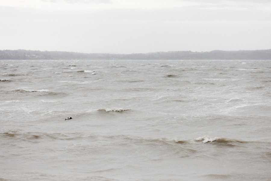
Boston’s history is punctuated by significant coastal flood events, often tied to powerful nor’easters. Examining these past occurrences provides a crucial benchmark for understanding the city’s vulnerability and the dire implications of future projections.
The Blizzard of ’78: A Lingering Memory
The Blizzard of 1978 remains a watershed moment in Boston’s collective memory regarding coastal flooding. This epic storm, characterized by hurricane-force winds and a massive storm surge, inundated vast swathes of the coastline, causing widespread damage and disruption.
Storm Characteristics and Impact
The Blizzard of ’78 was a perfect storm of meteorological fury. With sustained winds topping 70 mph and gusts exceeding 100 mph, it generated a storm surge that was described as unprecedented. This surge, coupled with massive waves, breached seawalls, flooded coastal roads, and stranded thousands of residents. The economic toll was staggering, and the psychological impact left an indelible mark on the city.
Lessons Learned and Infrastructural Responses
The Blizzard of ’78 served as a stark wake-up call for Boston. It highlighted the critical need for robust coastal defenses and better emergency preparedness. In the aftermath, significant investments were made in reinforcing seawalls, improving drainage systems, and developing more sophisticated storm warning and evacuation protocols.
The Ice Storm of 1991: Another Coastal Assault
The “Perfect Storm” of October 1991, immortalized in popular culture, was another powerful nor’easter that brought significant coastal flooding to Boston and the surrounding region. While perhaps not as devastating town-wide as the ’78 blizzard, its impact on the Massachusetts coast was severe.
The “Perfect Storm” Phenomenon
This storm developed from a confluence of unusual weather patterns, including a subtropical storm and a dying nor’easter, which merged and intensified rapidly. The result was a monster storm with immense wave heights and a powerful surge that battered the coastline for an extended period.
Specific Impacts on Boston’s Edge
While the storm’s fury was most famously felt offshore, Boston’s coastline also bore its brunt. Areas like Boston Harbor and its surrounding communities experienced significant inundation, with waves crashing over seawalls and threatening waterfront properties.
Projections for the 21st Century
Scientific models paint a sobering picture for Boston’s coastal future. As global temperatures continue to rise and sea levels accelerate, the frequency and intensity of nor’easters are projected to increase, leading to a dramatic escalation of flooding events.
Increased Frequency of Tidal Flooding
Even without major storms, projections indicate a significant increase in nuisance tidal flooding in Boston. Areas like the Seaport District and the North End, already prone to inundation during high tides, are expected to experience these events much more frequently, disrupting daily life and commerce.
Amplified Storm Surge Impacts
Future nor’easters are predicted to deliver more potent storm surges. This means that a storm that might have caused moderate flooding today could result in severe inundation in the coming decades. The capacity of existing infrastructure to withstand these amplified events is a growing concern.
Economic and Social Disruptions
The implications of these projections extend beyond mere inconvenience. Widespread and frequent flooding poses a significant threat to Boston’s economic vitalization, particularly its burgeoning technology and financial sectors, much of which is located in vulnerable low-lying areas. Furthermore, repeated flooding can displace residents, damage homes, and disproportionately affect vulnerable populations, exacerbating existing social inequalities.
Infrastructure Under Siege: The Saltwater Threat
Boston’s extensive and aging infrastructure, a testament to its long history, faces a formidable adversary in the encroaching saltwater. From subway tunnels to critical utility lines, the city’s lifeline is increasingly exposed to the corrosive and damaging effects of coastal flooding.
The MBTA and the Specter of Submerged Tunnels
The Massachusetts Bay Transportation Authority (MBTA), affectionately known as the “T,” is the lifeblood of Boston’s commuting population. Its extensive subway system, a marvel of early 20th-century engineering, is particularly vulnerable to flooding.
Flooding of Subway Tunnels
The low-lying nature of many MBTA subway lines, especially those running near the coast or under the harbor, makes them susceptible to inundation during nor’easters. Water ingress can lead to service disruptions, significant damage to electrical systems, and costly repairs. The memory of major flooding events during past storms still lingers.
Impact on Commuter Access and Economy
When the MBTA falters, the entire city feels the ripple effect. Service shutdowns translate into lost productivity, economic disruption, and immense frustration for hundreds of thousands of commuters. The potential for a catastrophic flood event in a critical subway tunnel remains a paramount concern for disaster preparedness.
Critical Utilities: Power, Water, and Communications
Beyond public transportation, the city’s essential utilities are also on the front lines of the coastal flooding threat. Power grids, water treatment facilities, and communication networks are all at risk of disruption.
Vulnerability of Power Substations and Grids
Many of Boston’s power substations and critical nodes in the electrical grid are located in low-lying coastal areas. Flooding can inundate these facilities, leading to widespread power outages that can cripple businesses and residences alike. The cascading effects of a power loss during a storm are far-reaching.
Water Treatment and Wastewater Systems
The city’s water treatment plants and wastewater management systems are also acutely vulnerable. Inundation can compromise their operations, leading to disruptions in clean water supply and the potential for untreated sewage to enter coastal waters, creating public health hazards.
Communication Networks
The sophisticated network of fiber optic cables and cellular towers that underpin modern communication are also susceptible. Flooded manholes, damaged conduits, and compromised cell sites can lead to widespread communication blackouts, hindering emergency response and public safety efforts.
Boston is increasingly facing the challenges posed by coastal flooding, particularly during nor’easters that can exacerbate the situation. The city’s unique geography and climate make it vulnerable to rising sea levels and severe storms, which can lead to significant damage and disruption. For those interested in understanding the broader implications of these weather patterns, a related article discusses the impact of climate change on coastal cities and offers insights into potential mitigation strategies. You can read more about it in this informative piece here.
Adaptation and Resilience: Boston’s Response to the Tide
| Metric | Value | Unit | Notes |
|---|---|---|---|
| Average Annual Nor’easters | 3-5 | Events per year | Typically occur between September and April |
| Maximum Storm Surge Height | 4.5 | Feet | Recorded during major nor’easters in Boston Harbor |
| Average Coastal Flooding Depth | 1.2 | Feet | Measured during moderate flooding events |
| Frequency of Flooding Events | 10-15 | Days per year | Days with coastal flooding due to nor’easters and tides |
| Economic Impact | High | Impact Level | Includes property damage and infrastructure disruption |
| Sea Level Rise Contribution | 0.13 | Inches per year | Exacerbates flooding severity during nor’easters |
| Typical Wind Speeds | 50-70 | mph | Associated with nor’easter storms causing coastal flooding |
Faced with the undeniable reality of rising sea levels and the intensifying threat of nor’easters, Boston is not standing idly by. The city has embarked on a multifaceted strategy to adapt to these challenges and build greater resilience into its coastal fabric.
Engineering Solutions: Building the Walls Higher and Stronger
A significant portion of Boston’s response has focused on tangible engineering solutions aimed at protecting the coastline and its inhabitants. This includes both fortifying existing defenses and constructing new ones to meet the evolving threat.
Seawall Reinforcement and Construction
The city has invested in strengthening and raising its seawalls, those granite sentinels that have long stood guard against the sea. Where seawalls are insufficient or non-existent, new structures are being designed and implemented to provide a higher level of protection. These are the city’s first lines of defense, the bulwarks against the surging tide.
Flood Barriers and Gates
In strategic locations, such as critical harbors and vulnerable inlets, flood barriers and gates are being considered and, in some cases, implemented. These are not to hold back the ocean entirely, but rather to provide a temporary, deployable shield during the peak of a storm surge, like a timed intervention in a raging battle.
Integrated Water Management Systems
Beyond hard defenses, there is a growing emphasis on integrated water management systems. This involves developing strategies to better manage stormwater runoff, improve drainage, and create spaces that can absorb or redirect floodwaters, essentially working with nature rather than solely against it.
Nature-Based Solutions: Harnessing the Power of Ecosystems
Increasingly, Boston is recognizing the value of nature-based solutions in its adaptation efforts. These approaches leverage the natural services provided by coastal ecosystems to mitigate flood risks and enhance resilience.
Restoring and Creating Wetlands
Coastal wetlands, such as salt marshes, act as natural sponges, absorbing storm surge and buffering the impact of waves. Efforts are underway to restore degraded wetlands and create new ones in suitable locations, providing a bio-engineered solution to flood control.
Dune Restoration and Beach Nourishment
Healthy sand dunes and beaches serve as natural barriers against coastal erosion and storm waves. Initiatives to restore damaged dunes and replenish beaches with sand are crucial for strengthening the outer defenses of the city.
Green Infrastructure Development
The integration of green infrastructure, such as rain gardens, permeable pavements, and vegetated rooftops, throughout the urban landscape can help manage stormwater and reduce the burden on traditional drainage systems, thereby contributing to overall flood resilience.
Policy and Planning: A Strategic Approach to a Changing Climate
Beyond the physical infrastructure, Boston is also embracing a forward-thinking policy and planning approach to address the long-term implications of climate change. This involves integrating climate resilience into all aspects of urban development and decision-making.
Zoning and Land Use Regulations
The city is re-evaluating zoning laws and land use regulations to discourage new development in high-risk coastal areas and to incentivize the construction of flood-resilient buildings in vulnerable zones. This is a proactive measure, steering development away from the path of destruction.
Climate Adaptation Plan Development
Boston has developed comprehensive climate adaptation plans that outline strategies for addressing the impacts of sea level rise and extreme weather events. These plans serve as a roadmap for future actions and investments in resilience.
Public Awareness and Engagement
Educating the public about the risks of coastal flooding and engaging residents in preparedness efforts are crucial components of Boston’s resilience strategy. Informed citizens are better equipped to protect themselves and their communities during times of crisis.
In conclusion, Boston’s struggle with coastal flooding, particularly in the face of escalating nor’easters and rising sea levels, is a microcosm of the challenges faced by coastal cities worldwide. The city’s historical relationship with the sea, once a source of prosperity and identity, now presents a significant vulnerability. However, through a combination of innovative engineering, the harnessing of natural systems, and a robust policy framework, Boston is striving to chart a course towards a more resilient future, demonstrating that while the tide may be rising, so too can human ingenuity and determination. The city is engaged in a continuous dialogue with the ocean, an ongoing recalibration of its defenses and its relationship with the formidable power of nature.

WARNING: The Ocean Conveyor Belt Is Already Collapsing
FAQs
What causes coastal flooding in Boston during nor’easters?
Coastal flooding in Boston during nor’easters is primarily caused by strong northeast winds that push seawater toward the shore, combined with low atmospheric pressure and high tides. These factors lead to storm surges that raise water levels and result in flooding.
How often do nor’easters impact Boston’s coastline?
Nor’easters typically affect Boston several times each year, especially during the fall, winter, and early spring months. The frequency and severity can vary depending on weather patterns and climate conditions.
What areas in Boston are most vulnerable to coastal flooding from nor’easters?
Low-lying neighborhoods along Boston’s waterfront, such as East Boston, South Boston, and parts of the Seaport District, are most vulnerable to coastal flooding during nor’easters due to their proximity to the ocean and elevation.
What measures are in place to protect Boston from coastal flooding caused by nor’easters?
Boston has implemented various flood protection measures, including seawalls, flood barriers, improved drainage systems, and emergency response plans. The city is also investing in long-term resilience projects to mitigate the impact of future storms.
How can residents prepare for coastal flooding during a nor’easter?
Residents can prepare by staying informed through weather alerts, having an emergency kit ready, securing property against flood damage, knowing evacuation routes, and following guidance from local authorities during nor’easter events.