The Cascadia Megathrust Earthquake represents one of the most significant geological threats facing the Pacific Northwest region of North America. This colossal seismic event is associated with the Cascadia Subduction Zone, where the Juan de Fuca Plate is being forced beneath the North American Plate. The potential for a megathrust earthquake in this area has garnered considerable attention from scientists, policymakers, and residents alike, as it poses a risk of catastrophic consequences.
The last major earthquake in this region occurred over 300 years ago, leading to a growing concern that the region is overdue for another significant seismic event.
The sheer magnitude of such an earthquake could lead to widespread destruction, loss of life, and long-term disruptions to infrastructure and services.
As communities along the Pacific Coast continue to grow, the urgency for comprehensive research and public awareness about this geological phenomenon becomes increasingly apparent. The following sections will delve into the intricacies of the Cascadia Subduction Zone, historical records of past earthquakes, potential impacts, and ongoing efforts to monitor and mitigate risks associated with this formidable natural hazard.
Key Takeaways
- The Cascadia Megathrust Earthquake is a major seismic event that poses a significant threat to the Pacific Northwest region.
- The Cascadia Subduction Zone is a tectonic plate boundary where the Juan de Fuca plate is being subducted beneath the North American plate, leading to potential megathrust earthquakes.
- Historical records show evidence of past Cascadia Megathrust Earthquakes, with the most recent occurring in 1700.
- Potential impacts of a Cascadia Megathrust Earthquake include widespread destruction, tsunamis, and long-term economic and societal consequences.
- Current efforts in monitoring and predicting Cascadia Megathrust Earthquakes involve advanced technology and collaborative research to improve early warning systems and preparedness strategies.
Understanding the Cascadia Subduction Zone
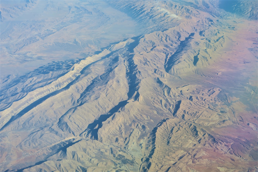
The Cascadia Subduction Zone is a tectonic boundary that stretches approximately 700 miles from Northern California to British Columbia. It is characterized by the interaction between two tectonic plates: the Juan de Fuca Plate, which is an oceanic plate, and the North American Plate, which is continental. This interaction creates immense geological stress as the denser oceanic plate is forced beneath the lighter continental plate.
Over time, this stress accumulates until it is released in the form of an earthquake, often resulting in significant ground shaking and potential tsunamis. Geologists have identified that the Cascadia Subduction Zone operates on a cycle of seismic activity, with large megathrust earthquakes occurring approximately every 300 to 600 years. This cyclical nature means that while there may be long periods of relative calm, the potential for a sudden and powerful release of energy remains ever-present.
The understanding of this subduction zone is not only vital for predicting future seismic events but also for assessing the geological history of the region and its implications for urban planning and disaster preparedness.
Historical Record of Cascadia Megathrust Earthquakes
The historical record of megathrust earthquakes in the Cascadia region is both fascinating and alarming. The most notable event occurred on January 26, 1700, when a massive earthquake estimated at a magnitude of 9.0 struck the coast.
Geological evidence suggests that this earthquake was part of a larger pattern of seismic activity in the region, with similar events occurring roughly every few centuries. In addition to the 1700 earthquake, researchers have identified evidence of other significant seismic events through geological studies, including tree ring analysis and sediment deposits. These studies indicate that large earthquakes have occurred in this region at regular intervals over thousands of years.
The historical record serves as a stark reminder of the potential for future megathrust earthquakes and underscores the importance of continued research into the patterns and impacts of these seismic events.
Potential Impacts of a Cascadia Megathrust Earthquake
| Impact | Metrics |
|---|---|
| Ground Shaking | Peak ground acceleration, duration of shaking |
| Tsunami | Wave height, inundation distance |
| Landslides | Volume of material displaced, area affected |
| Liquefaction | Extent of ground failure, infrastructure damage |
| Building Damage | Number of collapsed buildings, economic losses |
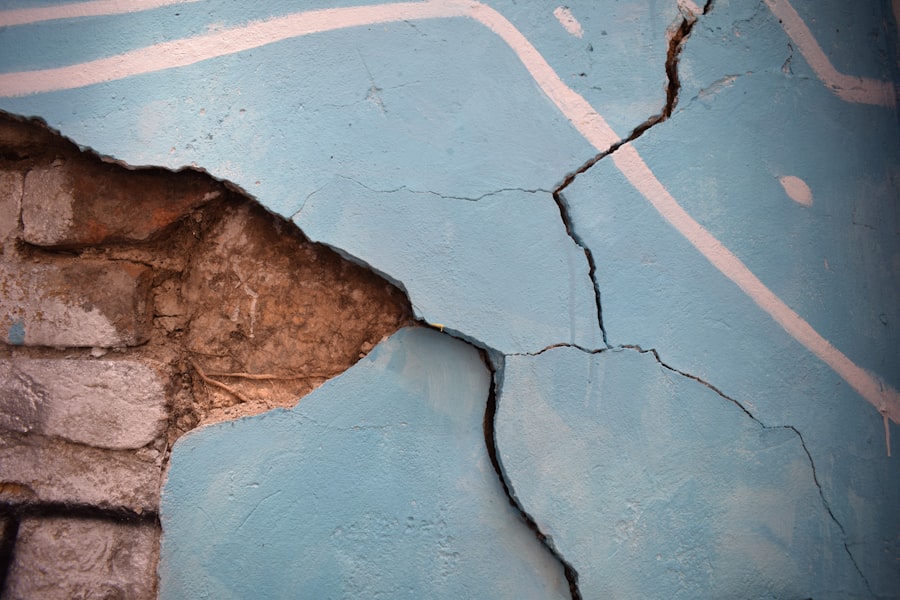
The potential impacts of a Cascadia Megathrust Earthquake are profound and far-reaching. A major earthquake could result in widespread destruction across urban centers such as Seattle, Portland, and Vancouver, leading to significant loss of life and injuries. Buildings and infrastructure that are not designed to withstand such intense shaking may collapse, resulting in catastrophic damage to homes, schools, hospitals, and transportation networks.
Moreover, the aftermath of a megathrust earthquake could trigger secondary disasters such as tsunamis and landslides. Coastal communities would be particularly vulnerable to tsunami waves generated by the seismic event, which could inundate low-lying areas within minutes. The economic ramifications would also be severe; estimates suggest that recovery costs could reach into the billions or even trillions of dollars.
The disruption to essential services such as water supply, electricity, and emergency response systems would further complicate recovery efforts and pose additional risks to public safety.
Current Efforts in Monitoring and Predicting Cascadia Megathrust Earthquakes
In light of the potential risks associated with a Cascadia Megathrust Earthquake, scientists and researchers have implemented various monitoring and predictive efforts aimed at understanding seismic activity in the region. One key initiative involves the deployment of an extensive network of seismometers that continuously record ground motion. This data allows researchers to analyze seismic patterns and identify areas where stress is accumulating along the fault line.
Additionally, advancements in technology have enabled scientists to utilize GPS systems to monitor ground deformation in real-time. By tracking subtle movements in the Earth’s crust, researchers can gain insights into tectonic activity and assess the likelihood of an impending earthquake. Collaborative efforts among universities, government agencies, and international organizations have further enhanced these monitoring capabilities, fostering a comprehensive approach to understanding seismic risks in the Cascadia region.
Mitigation and Preparedness Strategies for Cascadia Megathrust Earthquakes
Mitigation and preparedness strategies are essential components in reducing the risks associated with a potential Cascadia Megathrust Earthquake. Local governments and emergency management agencies have developed comprehensive disaster response plans that outline procedures for evacuation, sheltering, and resource allocation in the event of a major seismic event. Public education campaigns aim to inform residents about earthquake preparedness measures, such as creating emergency kits and developing family communication plans.
Building codes have also been updated to ensure that new constructions are designed to withstand seismic forces. Retrofitting older buildings to meet modern safety standards is another critical aspect of mitigation efforts. By investing in infrastructure improvements and community resilience initiatives, local governments can enhance their ability to respond effectively to an earthquake’s immediate impacts while facilitating long-term recovery.
The Role of Science and Technology in Unraveling the Cascadia Megathrust Earthquake
Science and technology play pivotal roles in unraveling the complexities surrounding the Cascadia Megathrust Earthquake. Researchers employ advanced modeling techniques to simulate seismic scenarios and predict potential outcomes based on various factors such as magnitude, depth, and location. These simulations provide valuable insights into how different regions may be affected by an earthquake and help inform emergency response planning.
Moreover, technological innovations such as remote sensing and satellite imagery allow scientists to monitor changes in land elevation and surface deformation over time. These tools enhance understanding of tectonic processes and contribute to more accurate assessments of earthquake risk. As research continues to evolve, interdisciplinary collaboration among geologists, engineers, urban planners, and emergency management professionals will be crucial in developing effective strategies for mitigating risks associated with future megathrust earthquakes.
Collaborative Efforts in Studying the Cascadia Megathrust Earthquake
Collaboration among various stakeholders has been instrumental in advancing research on the Cascadia Megathrust Earthquake. Universities, government agencies, non-profit organizations, and international partners work together to share data, resources, and expertise. This collaborative approach fosters a comprehensive understanding of seismic hazards while promoting innovative solutions for risk reduction.
One notable initiative is the Cascadia Region Earthquake Workgroup (CREW), which brings together scientists, emergency managers, and community leaders to address earthquake preparedness in the Pacific Northwest. Through workshops, public forums, and outreach programs, CREW aims to enhance community resilience by disseminating knowledge about earthquake risks and promoting proactive measures among residents.
Public Awareness and Education about Cascadia Megathrust Earthquakes
Public awareness and education are critical components in preparing communities for a potential Cascadia Megathrust Earthquake. Local governments and organizations have launched campaigns aimed at informing residents about earthquake risks and encouraging them to take proactive steps toward preparedness. Educational programs often include workshops on creating emergency kits, developing communication plans, and understanding evacuation routes.
Schools also play a vital role in fostering awareness among younger generations. By incorporating earthquake preparedness into curricula, educators can equip students with essential knowledge about seismic hazards while instilling a sense of responsibility toward community safety. Engaging community members through drills and simulations further reinforces preparedness efforts while building confidence in their ability to respond effectively during an actual event.
International Implications of a Cascadia Megathrust Earthquake
The implications of a Cascadia Megathrust Earthquake extend beyond regional boundaries; they carry significant international ramifications as well. A major seismic event could disrupt trade routes along the Pacific Coast, impacting economies not only within North America but also across global markets. The interconnectedness of modern economies means that disruptions caused by an earthquake could reverberate worldwide.
Furthermore, tsunamis generated by a megathrust earthquake could pose threats to coastal communities across the Pacific Rim. Countries such as Japan, Indonesia, and even parts of South America would need to be prepared for potential tsunami waves originating from the Cascadia region. International cooperation in monitoring seismic activity and sharing information about tsunami warnings will be essential for minimizing risks associated with such catastrophic events.
Conclusion and Future Directions for Research on the Cascadia Megathrust Earthquake
In conclusion, understanding the Cascadia Megathrust Earthquake is vital for safeguarding communities along the Pacific Northwest coast from its potentially devastating impacts. Ongoing research efforts continue to enhance knowledge about this geological phenomenon while informing mitigation strategies aimed at reducing risks associated with future seismic events. As technology advances and collaborative initiatives expand, researchers are better equipped to unravel the complexities surrounding this formidable natural hazard.
Looking ahead, future directions for research should focus on improving predictive models for seismic activity while enhancing public awareness initiatives aimed at fostering community resilience. Continued investment in infrastructure improvements will also be crucial for ensuring that buildings can withstand significant ground shaking. By prioritizing research efforts and fostering collaboration among stakeholders at all levels, society can better prepare for the inevitable challenges posed by the Cascadia Megathrust Earthquake while striving toward a safer future for all residents in this seismically active region.
For those interested in delving deeper into the topic of the Cascadia megathrust earthquake, a related article that provides additional insights can be found on Freaky Science. This article explores the geological intricacies and potential impacts of such seismic events, offering a comprehensive understanding of the forces at play beneath the Earth’s surface. To read more about these fascinating geological phenomena, you can visit the article by clicking on this link.
WATCH THIS! The Earth is Trying to Swallow North America: The Unstoppable Geological Disaster
FAQs
What is the Cascadia megathrust earthquake?
The Cascadia megathrust earthquake is a subduction zone earthquake that occurs along the Cascadia subduction zone, a 1,000-kilometer-long fault that runs from northern Vancouver Island to northern California.
What causes the Cascadia megathrust earthquake?
The Cascadia megathrust earthquake is caused by the Juan de Fuca tectonic plate being forced beneath the North American plate, resulting in stress and pressure buildup along the fault line.
How often does the Cascadia megathrust earthquake occur?
The Cascadia megathrust earthquake occurs on average every 200 to 500 years, with the last major event occurring in 1700.
What are the potential impacts of the Cascadia megathrust earthquake?
The Cascadia megathrust earthquake has the potential to cause widespread devastation, including strong ground shaking, tsunamis, and landslides, affecting coastal communities in the Pacific Northwest.
How can we prepare for the Cascadia megathrust earthquake?
Preparation for the Cascadia megathrust earthquake involves creating emergency plans, securing buildings and infrastructure, and educating the public about earthquake safety and preparedness measures.