Unveiling the Frozen Depths
The Earth’s frozen landscapes, particularly glaciers and ice sheets, are sensitive indicators of our planet’s changing climate. Their behavior – whether they are growing, shrinking, or moving – provides critical insights into global warming and its cascading effects. For decades, scientists have sought robust methods to understand the internal structure of these vast ice masses, and radar detection of ice layers has emerged as a transformative technology in this pursuit. This non-invasive technique allows researchers to peer beneath the surface, mapping internal stratigraphy, detecting buried ice lenses, and even revealing the bedrock beneath. The implications for climate modeling, glacial hydrology, and the prediction of future sea-level rise are profound, ushering in a new era of glaciological research.
Radar, at its core, works by transmitting electromagnetic waves into the ice and measuring the echoes that return when these waves encounter boundaries or changes in material properties. The specific frequencies and wavelengths used can be tuned to penetrate different depths and resolve different features within the ice. In the context of glaciology, these boundaries can represent a variety of phenomena: annual accumulation layers, dust or volcanic ash layers deposited in the past, meltwater ice lenses formed during warmer periods, or even refrozen meltwater channels. By analyzing the timing and characteristics of the returning radar signals, scientists can construct detailed cross-sections of the ice, akin to an X-ray of the glacier. This article delves into the fundamental principles of radar detection of ice layers, its diverse applications in climate and glacier research, the technological advancements driving its capabilities, and the future prospects for this invaluable scientific tool.
Recent advancements in radar detection technology have significantly enhanced our understanding of ice layers in polar regions. A related article discusses the innovative methods used to analyze ice thickness and structure using radar systems, providing insights into climate change and its impact on glacial dynamics. For more information, you can read the full article here: Radar Detection of Ice Layers.
The Science Behind the Signal
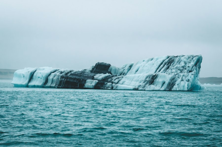
The fundamental principle behind radar detection of ice layers relies on the interaction of electromagnetic waves with the ice medium. When a radar pulse is transmitted into the ice, it travels through the frozen mass until it encounters a discontinuity. These discontinuities, or interfaces, are regions where there is a change in the dielectric properties of the ice. The dielectric constant of a material describes how well it can store electrical energy in an electric field, and it varies depending on factors such as ice density, temperature, and the presence of impurities like water or mineral dust. When radar waves strike such an interface, a portion of the energy is reflected back to the radar antenna, while another portion is transmitted deeper into the ice.
Fundamentals of Electromagnetic Wave Interaction with Ice
The propagation of radar waves through ice is governed by principles of electromagnetism. The speed at which the waves travel is dependent on the ice’s dielectric permittivity, which is itself influenced by temperature and density. Colder, less dense ice allows radar waves to propagate faster than warmer, denser ice. Furthermore, the attenuation of the radar signal, meaning its loss of energy as it travels, is also a critical factor. Factors contributing to attenuation include absorption by impurities within the ice and scattering from irregularities. Higher frequencies are generally more susceptible to scattering and absorption, limiting their penetration depth, while lower frequencies can penetrate deeper but offer less resolution. Therefore, the choice of radar frequency is a crucial design consideration, balancing the need for penetration with the desire for detailed imaging.
Identifying Reflecting Layers and Their Significance
The echoes received by the radar system are meticulously analyzed. The time it takes for an echo to return directly correlates to the depth of the reflecting layer, assuming a known or estimated speed of wave propagation through the ice. The strength and shape of the return signal provide further information. A strong, sharp reflection often indicates a significant change in dielectric properties, such as the interface between clean ice and a layer of dust or a distinct meltwater ice lens. Weaker, more diffuse reflections might suggest gradual changes in ice density or temperature. Annual layers, for instance, can often be identified by subtle but consistent variations in density and impurity content from year to year, creating a layered radar profile that mirrors seasonal climate variations. The detection of these layers allows glaciologists to date the ice and reconstruct past climatic conditions.
Factors Influencing Radar Penetration and Resolution
Several environmental and technical factors influence the effectiveness of radar for ice layer detection. The most significant environmental factor is the presence of liquid water within the ice. Liquid water has a much higher dielectric constant than solid ice, causing strong reflections and significant attenuation of the radar signal. This means that temperate glaciers, which often contain meltwater channels or veins, are more challenging to penetrate with radar than cold, dry polar ice. Similarly, increased concentrations of dust or other impurities can also scatter and absorb radar signals, reducing penetration depth. Technologically, the resolution of radar systems is determined by the bandwidth of the transmitted pulse and the operating frequency. Wider bandwidths and higher frequencies generally lead to better resolution, allowing for the detection of thinner layers. Antenna design, signal processing techniques, and the sophistication of the radar hardware also play crucial roles in achieving optimal penetration and resolution.
Applications in Climate Science and Glacial Dynamics
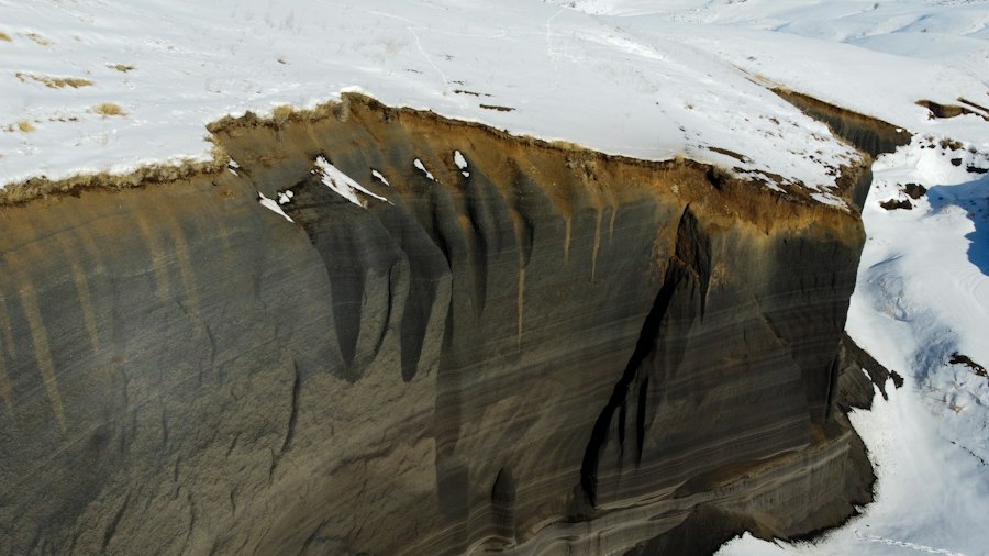
The ability to non-invasively probe the internal structure of glaciers and ice sheets has revolutionized our understanding of past climates and the ongoing dynamics of these frozen reservoirs. Radar detection of ice layers has become an indispensable tool for reconstructing historical climate archives, understanding glacial melt processes, and assessing the stability of ice masses.
Reconstructing Past Climates from Ice Cores and Radar Data
Ice cores, obtained by drilling deep into glaciers, provide invaluable historical records of atmospheric composition, temperature, and precipitation. However, drilling is a time-consuming and resource-intensive process, and ice cores represent only localized points within a glacier. Radar, by contrast, can provide continuous, two-dimensional cross-sections of the ice stratigraphy over large areas. By identifying annual layers and distinct impurity horizons (such as volcanic ash layers) in radar data, scientists can extend the temporal record and spatial coverage of climate reconstructions. When calibrated with ground-truthed data from ice cores, radar profiles can be used to date firn and ice layers at much greater distances from the drill site, providing a broader picture of past snowfall and accumulation patterns. This allows for the creation of more comprehensive paleoclimate reconstructions, revealing regional climate variability and the frequency of extreme events over centuries and millennia.
Understanding Glacial Meltwater Systems and Hydrology
The presence and movement of meltwater within glaciers are crucial for understanding their dynamics and their contribution to sea-level rise. Radar can detect buried ice lenses and refrozen meltwater channels, which are signatures of past melting events and subsequent refreezing. These features can reveal the extent and depth of meltwater penetration, providing insights into how water moves through the glacier’s internal plumbing. This is particularly important for understanding basal sliding, a major driver of glacier flow. If meltwater reaches the glacier bed, it can lubricate the ice-rock interface, accelerating the glacier’s movement towards the ocean. Radar surveys can help map areas where meltwater is likely to be present, informing models of glacial hydrology and predicting changes in glacier flow rates.
Assessing Ice Sheet Stability and Future Sea-Level Rise
The stability of Earth’s major ice sheets, the Greenland and Antarctic ice sheets, is a primary concern for future sea-level rise. Radar detection of ice layers plays a vital role in assessing their stability. By mapping the internal structure and detecting potential weak layers or channels where meltwater might accumulate, scientists can better understand the processes that could lead to accelerated ice flow or calving events. For instance, radar can identify areas where warming ocean waters might be melting the underside of ice shelves, leading to thinning and potential collapse. Furthermore, understanding the thickness and basal conditions of ice sheets, often mapped with radar, is essential for accurate modeling of their contribution to future sea-level rise. By providing detailed information about the ice volume and its internal characteristics, radar data allows for more refined predictions of how much ice will be lost and how quickly it will melt.
Technological Advancements and Methodologies
The effectiveness of radar for ice layer detection has been significantly enhanced by continuous advancements in radar technology and data processing techniques. From early analog systems to sophisticated digital radar arrays, the capabilities have expanded dramatically, enabling higher resolutions, deeper penetration, and more detailed interpretations of the subsurface ice.
Evolution of Radar Systems for Glaciological Research
The earliest radar systems used for glaciological research were often relatively simple, employing broad-spectrum pulses and limited signal processing. These systems were effective for identifying major internal reflectors but lacked the resolution to discern fine stratigraphy. The development of impulse radar systems, which transmit short, high-power pulses, marked a significant improvement. More recently, the advent of stepped-frequency continuous-wave (SFCW) radar and ground-penetrating radar (GPR) systems has offered even greater flexibility and precision. SFCW radar, for example, can sweep across a range of frequencies, allowing for a compromise between penetration depth and resolution. GPR systems, often deployed from aircraft or ground vehicles, are specifically designed for subsurface imaging and have been adapted for glaciological applications with specialized antennas and processing algorithms to optimize for ice. The miniaturization of electronics has also allowed for the development of more portable and robust radar systems, enabling deployment in remote and challenging polar environments.
Sophisticated Data Processing and Interpretation Techniques
Interpreting the vast amounts of data generated by radar surveys is as crucial as the data acquisition itself. Advanced signal processing techniques are employed to enhance the clarity of radar reflections, remove noise, and improve the resolution of subsurface features. These techniques include migration algorithms, which correct for the spatial distortion of reflectors caused by the radar beam’s geometry, and filtering techniques, which isolate desired signals from unwanted interference. Furthermore, the integration of radar data with other geophysical datasets, such as seismic data or magnetic surveys, can provide a more comprehensive understanding of the subsurface. Machine learning and artificial intelligence are also beginning to play a role in automating the identification of specific ice layers or features, accelerating the interpretation process and allowing for the analysis of larger datasets.
Novel Deployment Platforms: Airborne and Drone-Based Radar
Traditional radar surveys often involved towing equipment behind snowmobiles or on skis, limiting the speed and coverage of data acquisition. The development of airborne radar systems, mounted on aircraft, has dramatically increased the area that can be surveyed in a given time. These systems can cover hundreds of kilometers of ice surface in a single flight, providing broad-scale imaging of ice sheet structure. More recently, the emergence of unmanned aerial vehicles (UAVs), or drones, has opened up new possibilities for high-resolution, localized radar surveys. Small, lightweight radar systems can be mounted on drones, allowing for detailed investigations of specific glaciers or ice features that might be inaccessible by other means. Drone-based radar surveys can provide millimeter-scale resolution of near-surface ice layers, offering unprecedented detail for studying surface melt processes or shallow ice stratigraphy.
Recent advancements in radar detection techniques have significantly improved our understanding of ice layers in polar regions. For a deeper insight into the methodologies and applications of these technologies, you can explore an interesting article on this topic. The article discusses various radar systems and their effectiveness in mapping ice thickness and structure, which is crucial for climate research. To read more about this fascinating subject, check out this related article.
Challenges and Future Directions
| Parameter | Value | Unit | Description |
|---|---|---|---|
| Radar Frequency | 150 | MHz | Operating frequency of radar system for ice layer detection |
| Penetration Depth | 30 | meters | Maximum depth radar can detect ice layers |
| Layer Thickness Resolution | 0.5 | meters | Minimum distinguishable thickness of ice layers |
| Signal Attenuation | 0.1 | dB/m | Loss of radar signal strength per meter in ice |
| Dielectric Constant of Ice | 3.15 | unitless | Relative permittivity affecting radar wave propagation |
| Ice Layer Reflectivity | 0.3 | unitless | Proportion of radar signal reflected by ice layers |
| Radar Pulse Width | 20 | nanoseconds | Duration of radar pulse for layer detection |
| Sampling Rate | 500 | MHz | Rate at which radar signal is sampled |
Despite the significant progress in radar detection of ice layers, several challenges remain, and exciting future directions are emerging that promise to further enhance its utility in climate and glacier research. Addressing these challenges and embracing new opportunities will be key to unlocking even deeper insights into our planet’s frozen systems.
Overcoming Environmental Limitations and Data Ambiguities
As mentioned previously, the presence of liquid water in temperate glaciers significantly attenuates radar signals, posing a challenge for deep penetration. Future research will likely focus on developing radar systems and processing techniques that are more resilient to water content variations. This might involve exploring different radar frequencies or polarization techniques that are less affected by liquid water. Furthermore, interpreting radar data can sometimes be ambiguous. Distinguishing between different types of reflectors (e.g., a dust layer versus a refrozen meltwater lens) can be challenging without corroborating evidence. Continued research into the electromagnetic properties of various ice impurities and meltwater features will help to reduce these ambiguities. The development of more sophisticated inversion techniques, which use physical models to interpret radar signals, will also be crucial.
Integration with Other Remote Sensing and Geophysical Techniques
The true power of radar lies in its integration with other scientific disciplines. Combining radar data with satellite imagery can help to map surface features and correlate them with subsurface structures. For example, surface melt pond locations observed from satellites could be linked to buried ice lenses detected by radar. Similarly, integrating radar data with seismic surveys can provide complementary information about bedrock topography and the mechanical properties of the ice. Future research will likely see a more holistic approach, where radar data is combined with a suite of remote sensing and geophysical techniques to create highly detailed, multi-dimensional models of glaciers and ice sheets. This integrated approach will provide a more robust understanding of the complex processes at play.
Towards Real-Time Monitoring and Predictive Modeling
The ultimate goal for many glaciologists is to move towards real-time monitoring of glaciers and ice sheets, enabling them to detect and respond to rapid changes. This might involve deploying autonomous radar systems in remote locations that transmit data wirelessly for continuous analysis. Such systems could provide early warnings of calving events, accelerated ice flow, or sudden meltwater drainage. The data gathered from these real-time monitoring efforts would then feed directly into improved predictive models of sea-level rise and glacial behavior. These models, empowered by increasingly detailed and up-to-date information from radar and other sources, will be critical for informing climate change adaptation strategies and policy decisions on a global scale. The continued miniaturization and ruggedization of radar technology, coupled with advancements in wireless communication and data processing, are paving the way for this exciting future.
Conclusion: A Deeper Look into the Frozen Archives
Radar detection of ice layers has undeniably revolutionized our ability to study the Earth’s frozen environments. From unveiling ancient climate archives buried within millennia-old ice to monitoring the intricate pathways of meltwater and assessing the stability of vast ice sheets, this non-invasive technology provides a unique and invaluable perspective. The ongoing evolution of radar systems, coupled with increasingly sophisticated data processing and novel deployment platforms, continues to push the boundaries of what is possible. As scientists grapple with the accelerating impacts of climate change, the insights gleaned from radar mapping of ice layers will become even more critical. The ability to peer beneath the surface of glaciers and ice sheets offers not just a scientific exploration but a vital window into our planet’s past, present, and future, guiding our understanding and informing our actions in the face of a warming world. The continued investment in and development of this technology will undoubtedly lead to further groundbreaking discoveries, solidifying its role as a cornerstone of modern glaciological and climate research for decades to come.

Water Boiled While Ice Formed. Could a Lander Sink Into It?
FAQs
What is radar detection of ice layers?
Radar detection of ice layers is a method used to identify and map the presence of ice layers within a material or surface using radar technology.
How does radar technology detect ice layers?
Radar technology emits electromagnetic waves that penetrate the material or surface being studied. When these waves encounter an ice layer, they reflect back to the radar receiver, allowing the detection and mapping of the ice layer.
What are the applications of radar detection of ice layers?
Radar detection of ice layers is commonly used in glaciology to study ice sheets, glaciers, and ice caps. It is also used in civil engineering to assess the integrity of structures in cold regions prone to ice formation.
What are the benefits of using radar technology for detecting ice layers?
Radar technology provides a non-invasive and efficient way to detect ice layers without the need for physical drilling or excavation. It allows for remote sensing and mapping of ice layers over large areas with high accuracy.
Are there any limitations to radar detection of ice layers?
While radar technology is effective in detecting ice layers, it may face challenges in differentiating between different types of ice layers or other materials with similar radar properties. Additionally, the accuracy of the results can be influenced by factors such as the depth and thickness of the ice layers.