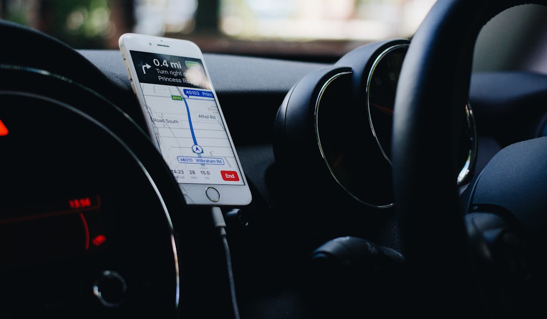
You hold it in your hand every day, a sleek rectangle of glass and metal that seems to hold the universe within its grasp. But have you ever stopped to wonder about the invisible magic that guides you through unfamiliar streets, helps you find the nearest coffee shop, or tracks your morning run with uncanny precision? You’re interacting with one of the most transformative technologies of our time: your phone’s GPS. It’s more than just a feature; it’s a gateway to a world of information and navigation, a complex dance of satellites, signals, and sophisticated algorithms that works tirelessly behind the scenes. Let’s embark on a journey to unlock the mystery of this ubiquitous technology, understanding how your phone knows exactly where you are.
You might think of GPS as a single, monolithic entity, but it’s actually part of a larger system. Understanding this foundation is key to appreciating the nuances of your phone’s location capabilities.
Global Navigation Satellite Systems (GNSS)
While you commonly hear “GPS,” this is actually the American system. In reality, your phone is likely using a Global Navigation Satellite System (GNSS), which is an umbrella term for any satellite-based navigation system. Think of it like this: GPS is a specific brand, but GNSS is the entire category of products.
The American System: NAVSTAR GPS
The original and most widely known system, NAVSTAR GPS, is operated by the United States Department of Defense. It consists of a constellation of at least 24 operational satellites orbiting the Earth. These satellites transmit precise timing and orbital data, forming the bedrock of global positioning.
Other GNSS Constellations
The world isn’t solely reliant on the American system. Other major GNSS constellations enhance accuracy and reliability:
- GLONASS (Globalnaya Navigatsionnaya Sputnikovaya Sistema): Developed by Russia, GLONASS provides a complementary set of satellites, increasing the number of signals available to your device.
- Galileo: This European Union initiative is a civilian-controlled system designed for high-precision global navigation. It’s built with user applications and commercial services in mind.
- BeiDou: China’s indigenous GNSS is a rapidly expanding system that offers global coverage and is becoming increasingly important in many regions.
Your smartphone’s chip is designed to communicate with as many of these systems as possible. The more signals it can receive, the more accurate and robust your location data will be.
How Satellites Work: The Heartbeat of Positioning
The magic truly begins with those orbiting satellites. They are not just static observers; they are active broadcasters, sending out crucial information.
Orbital Mechanics and Timing
Each satellite in a GNSS constellation follows a precise orbit around the Earth. They are equipped with highly accurate atomic clocks, synchronized to nanosecond precision. This impeccable timing is absolutely critical for the entire system to function.
Signal Transmission: The Invisible Handshake
The satellites constantly transmit signals that contain two main pieces of information:
- Pseudorandom Noise (PRN) Code: This is a unique digital code that identifies the specific satellite. It also contains information about the satellite’s exact position in space at any given moment (ephemeris data).
- Time of Transmission: This is the exact time, according to the satellite’s atomic clock, when the signal was sent.
Your phone, equipped with a GNSS receiver, listens for these signals. When it picks up signals from multiple satellites, it begins to decode this vital information.
Understanding how phone GPS actually works can be quite fascinating, as it involves a complex interplay of satellites, signals, and technology. For a deeper dive into the mechanics behind GPS technology and its applications, you can check out this related article on Freaky Science. It provides insights into the science of navigation and how our devices pinpoint our locations with remarkable accuracy. To read more, visit this article.
The Triangulation Trick: Pinpointing Your Location
You might have heard of “triangulation” in relation to GPS. While it’s a simplified term, the core concept of using multiple reference points to determine your position is accurate. However, in the case of GPS, it’s more accurately described as “trilateration.”
The Principle of Trilateration
Instead of drawing lines to intersect, trilateration uses distances. Each satellite transmits its precise location and the time its signal was sent. Your phone’s receiver calculates the time it took for the signal to arrive.
Calculating Distance: Time x Speed
Knowing the speed of light (the speed at which radio signals travel) and the time it took for a signal to reach your phone, your receiver can calculate the distance to that particular satellite. Imagine a sphere around each satellite, with a radius equal to the calculated distance. Your phone must be somewhere on the surface of that sphere.
The Need for Multiple Satellites
One satellite’s signal tells you that you are on the surface of a sphere. This is an infinite number of possible locations! Two satellites? That narrows it down to the intersection of two spheres, which is a circle. Three satellites? The intersection of three spheres gives you two possible points. One of these points is usually nonsensical (e.g., far out in space or deep underground), so your receiver can often figure out the correct one.
The Fourth Satellite: A Crucial Refinement
However, there’s a catch. The atomic clocks in your phone are nowhere near as precise as those on the satellites. This slight timing error in your phone’s clock causes inaccuracies in the distance calculations. This is where a fourth satellite comes in. By receiving signals from a fourth satellite, your phone can use the extra data to solve for not only your three-dimensional position (latitude, longitude, and altitude) but also the precise error in your phone’s internal clock. This significantly improves the accuracy of your location fix.
Understanding Your Receiver: The Brains in Your Phone
The GNSS receiver in your smartphone is a marvel of miniaturization and processing power. It’s the component responsible for listening to satellite signals and making sense of them.
Signal Acquisition and Tracking
The receiver first needs to “hear” the satellite signals. This involves scanning for the specific PRN codes of visible satellites. Once a signal is acquired, the receiver continuously tracks it to maintain a lock.
Data Decoding and Calculation
The received data is then decoded. The ephemeris data tells the receiver where each satellite is. The timing information is used to calculate the distance, as explained earlier. This raw data is then fed into complex algorithms to compute your precise latitude, longitude, and altitude.
Beyond Satellites: Augmenting Your Location Accuracy
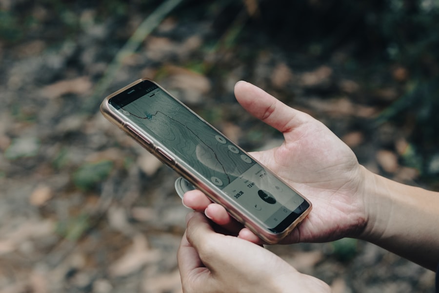
While satellites are the primary source of your phone’s location data, they are not the only source. Your phone uses a combination of technologies to refine its position, especially in challenging environments.
Assisted GPS (A-GPS): The Speedy Start
Assisted GPS, or A-GPS, is a technology that significantly speeds up the time it takes for your phone to get an initial location fix. This is particularly useful when you first turn on your location services or after your phone has been off for a while.
How A-GPS Works
Instead of relying solely on waiting for the satellites to transmit their orbital data (which can take several minutes), A-GPS uses cellular network or Wi-Fi signals to download this information from a server. This data, often referred to as almanac and ephemeris data, is essentially a “pre-downloaded” map of the satellite constellation’s positions and their expected paths.
The Benefits of A-GPS
This pre-downloaded information allows your phone’s GNSS receiver to quickly identify which satellites are in view and to start calculating distances much faster. It’s like having a cheat sheet for finding the satellites, reducing the time it takes from minutes to seconds.
Wi-Fi Positioning: Indoor Navigation and Urban Canyons
When you’re indoors or in areas with tall buildings where satellite signals can be blocked or weakened (often called “urban canyons”), Wi-Fi positioning steps in to help.
The Wi-Fi Fingerprinting Technique
Your phone can detect the unique identifiers (SSIDs and MAC addresses) of nearby Wi-Fi networks. Companies and individuals have mapped the locations of millions of Wi-Fi access points. By comparing the Wi-Fi networks your phone detects with this database, it can infer your approximate location.
Limitations of Wi-Fi Positioning
While useful, Wi-Fi positioning is generally less accurate than GNSS. Its accuracy depends heavily on the density and accuracy of the Wi-Fi mapping database in your area. It’s also less effective in sparsely populated areas where Wi-Fi networks are less common.
Cellular Tower Triangulation: The Broad Strokes
Even without Wi-Fi, your phone can get a rough location fix using cellular towers. This is the least precise method but is still valuable.
Cell ID and Signal Strength
Your phone is always connected to one or more cellular towers. By knowing which tower your phone is connected to (Cell ID) and potentially the signal strength from multiple towers, your phone’s network can estimate your general location.
A Coarse Approximation
This method provides a very broad estimate, often accurate to within a few hundred meters or even kilometers, depending on the density of cell towers. It’s not precise enough for turn-by-turn navigation but can be used for services that don’t require high accuracy, like geotagging photos or basic location-based advertising.
The Role of Your Phone’s Hardware and Software
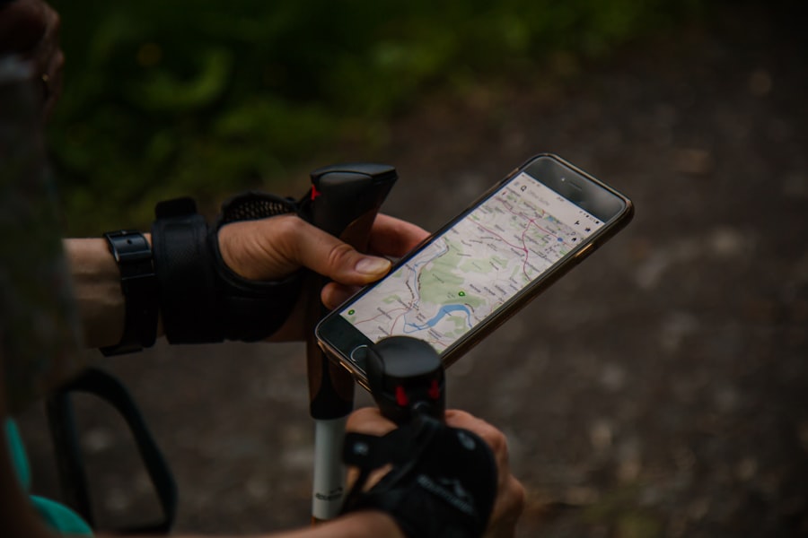
Your phone isn’t just passively receiving signals. Its internal components and the software that runs on it play a critical role in processing and utilizing location data.
The GNSS Chipset: The Dedicated Processor
At the heart of your phone’s location capabilities is a specialized microchip called the GNSS chipset. This is a highly integrated circuit designed specifically to receive, process, and interpret signals from GNSS satellites.
Power Efficiency and Miniaturization
These chipsets are designed to be incredibly power-efficient and small, allowing them to be integrated into the compact designs of modern smartphones. They are responsible for tasks like signal acquisition, tracking, and the initial calculation of position.
Multiple Constellation Support
Modern chipsets are designed to support multiple GNSS constellations, allowing your phone to leverage the strengths of GPS, GLONASS, Galileo, and BeiDou for improved accuracy and reliability.
The Operating System and Location Services
The operating system (like Android or iOS) and its associated Location Services are the gatekeepers and managers of your location data. They orchestrate the use of various positioning technologies and provide location information to apps.
The Location Services API
The Location Services API (Application Programming Interface) is the bridge between your phone’s hardware and the apps you use. It allows apps to request your location in a standardized way, without needing to know the intricate details of how that location was determined.
Permissions and Privacy
A crucial aspect of Location Services is managing user permissions. Your operating system will prompt you to grant apps permission to access your location, allowing you to control which apps can see your whereabouts and to what degree of accuracy. This is vital for protecting your privacy.
Sensors: Adding Context to Your Position
Beyond just knowing where you are, your phone’s other sensors contribute to a richer understanding of your movement and environment, enhancing the overall location experience.
Accelerometer and Gyroscope: Motion and Orientation
The accelerometer measures acceleration and tilt, while the gyroscope measures rotational changes. Together, these sensors help your phone understand your movement – whether you’re walking, running, or sitting still. This data can be used to refine GPS readings, especially when satellite signals are weak. For instance, if your GPS briefly loses lock while you’re clearly moving, the accelerometer can help bridge the gap by estimating your movement.
Magnetometer: Knowing Your Direction
The magnetometer acts as a compass, detecting the Earth’s magnetic field to determine your orientation and direction. This is what allows your map app to show which way your phone is pointing, aligning it with the direction of travel on the map.
Barometer: Altitude and Elevation Changes
Some smartphones include a barometer, which measures atmospheric pressure. This can be used to estimate your altitude and detect changes in elevation, providing more accurate altitude readings than GNSS alone, especially in hilly terrain.
Understanding how phone GPS actually works can be quite fascinating, as it involves a complex interplay of satellites, signals, and technology. For a deeper dive into the science behind GPS systems and their applications, you might find this article on Freaky Science particularly enlightening. It explains the underlying principles and advancements in GPS technology that enhance our daily navigation experiences. You can read more about it in this related article.
The Evolution and Future of Phone GPS Technology
| Aspect | Description |
|---|---|
| GPS Satellites | There are 24 satellites orbiting the Earth, transmitting signals to GPS receivers. |
| Trilateration | GPS receivers calculate their position by measuring the distance from at least 3 satellites. |
| Time Synchronization | Accurate time synchronization between satellites and receivers is crucial for precise positioning. |
| Accuracy | GPS can provide location accuracy within a few meters under ideal conditions. |
| Obstacles | Buildings, trees, and other obstacles can interfere with GPS signals, reducing accuracy. |
The GPS technology in your phone has come a long way and continues to evolve at a rapid pace. You’re already benefiting from advancements that were science fiction just a few decades ago.
Increasing Accuracy and Reliability
The ongoing deployment of new satellites and upgrades to existing constellations are constantly improving the accuracy and reliability of GNSS. Modern phones can achieve pinpoint accuracy, often within a few meters, in good conditions.
Enhanced Signal Processing
Improvements in signal processing algorithms within GNSS chipsets allow for better filtering of noise and interference, leading to more robust fixes even in challenging environments.
Integration with Other Technologies
The trend is towards deeper integration of GNSS with other sensor technologies and artificial intelligence. This allows for more intelligent location estimation, predictive capabilities, and a more seamless user experience.
The Rise of Indoor Navigation
One of the biggest challenges for GNSS has always been its performance indoors. The future promises more sophisticated solutions for indoor navigation.
Beacons and UWB (Ultra-Wideband)
Technologies like Bluetooth beacons and Ultra-Wideband (UWB) are being used to create precise indoor positioning systems. Beacons can emit signals that your phone detects, while UWB offers highly accurate distance measurements, allowing for centimetre-level positioning.
Hybrid Solutions
The future will likely see hybrid solutions that combine GNSS with these indoor positioning technologies, providing a truly seamless transition from outdoor to indoor navigation.
New Applications and Possibilities
As location technology becomes more sophisticated, it opens up a world of new applications and possibilities.
Augmented Reality (AR) Experiences
Precise location data is fundamental for augmented reality experiences, allowing virtual objects to be anchored to real-world locations. Imagine AR games where characters appear in your actual surroundings or AR navigation that overlays directions onto your view of the street.
Advanced Data Analytics and IoT
The proliferation of location-aware devices is fueling advancements in data analytics, enabling new insights into traffic patterns, urban planning, and consumer behavior. The Internet of Things (IoT) will increasingly rely on precise location data for smart devices and autonomous systems.
Autonomous Vehicles and Drones
For self-driving cars and drones, highly accurate and reliable positioning is not just a convenience; it’s a critical safety requirement. The ongoing development in this area will further push the boundaries of location technology.
You’ve now taken a significant step towards understanding the invisible forces that guide you. From the distant orbits of satellites to the sophisticated processors within your hand, your phone’s GPS technology is a testament to human ingenuity and a powerful tool that continues to shape our world. The next time you glance at your map, remember the complex, interconnected system working tirelessly to bring you to your destination.

Your Phone Can Still Know Where You Are in Airplane Mode
FAQs
1. What is GPS and how does it work in phones?
GPS, or Global Positioning System, is a network of satellites that orbit the Earth and provide location and time information to GPS receivers. In phones, GPS works by using signals from these satellites to determine the device’s location, speed, and direction.
2. How accurate is the GPS in phones?
The accuracy of GPS in phones can vary, but in general, it can provide location information within a few meters. Factors such as the number of visible satellites, signal interference, and the quality of the GPS receiver can affect the accuracy of the location data.
3. What are the main components of phone GPS technology?
The main components of phone GPS technology include the GPS receiver, which receives signals from the satellites, and the GPS antenna, which captures the signals. The phone’s software then processes the signals to determine the device’s location and provide navigation information.
4. How does GPS in phones determine altitude and speed?
GPS in phones can determine altitude by measuring the distance between the device and the satellites. Speed is calculated by tracking changes in the device’s position over time. Both altitude and speed calculations rely on the accuracy of the GPS signals and the phone’s processing capabilities.
5. Can phone GPS work without an internet connection?
Yes, phone GPS can work without an internet connection. The GPS receiver in the phone uses signals from the satellites to determine the device’s location, so it does not rely on internet connectivity for basic GPS functionality. However, an internet connection may be needed for certain features, such as map updates or location-based services.