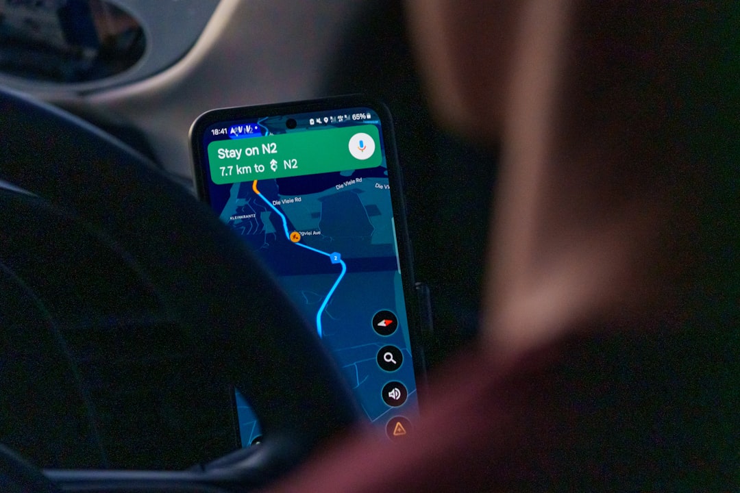
You’ve likely experienced it. You’re deep in the backcountry, miles from the nearest Wi-Fi signal, the bars on your phone stubbornly displaying “No Service.” Yet, your trusty navigation app, a beacon of hope in the digital wilderness, still points you resolutely in the right direction. How is this even possible? How can your device know where you are, and where you need to go, without a constant connection to the internet? The answer lies in the marvel of Global Positioning Systems, or GPS, and its remarkable ability to function entirely offline. It’s a testament to human ingenuity, a network of satellites that broadcasts signals, and a clever algorithm within your device that interprets them.
Imagine a celestial ballet happening constantly, 20,000 kilometers above your head. This is the domain of the GPS constellation, a meticulously managed network of satellites orchestrated by the United States Department of Defense. While you might be familiar with the term “GPS,” it’s important to understand that it’s just one of several Global Navigation Satellite Systems (GNSS). Other prominent systems include Russia’s GLONASS, Europe’s Galileo, and China’s BeiDou. For the sake of simplicity and because it’s the most ubiquitous, we’ll focus on GPS, but the underlying principles apply broadly to all GNSS.
The Genesis of GPS
The story of GPS began in the mid-20th century, driven by military necessity. The need for accurate and reliable navigation for troops and aircraft was paramount, especially during the Cold War. Initially, the system, then known as NAVSTAR GPS, was developed with military applications as its primary focus. However, in the 1980s, after the tragic downing of Korean Air Lines Flight 007, President Ronald Reagan announced that GPS would be made available for civilian use, albeit with a deliberate degradation of accuracy for non-military users – a practice known as Selective Availability. This civilian access, however, proved to be a game-changer for countless industries and individuals, paving the way for the offline navigation you rely on today.
The Satellite Constellation: More Than Just One
A single satellite wouldn’t be enough to pinpoint your location. To achieve the accuracy we expect, GPS relies on a constellation of at least 24 operational satellites. In reality, there are usually more, providing redundancy and ensuring that at least four satellites are always visible from any point on Earth. These satellites are strategically placed in specific orbits, constantly moving and broadcasting powerful radio signals. Their precise orbital paths and timing are crucial for the system’s functionality.
Broadcasting the Signals: The Invisible Language
Each GPS satellite broadcasts two primary signals: the L1 signal (at 1575.42 MHz) and the L2 signal (at 1227.60 MHz), and more recently, the L5 signal (at 1176.45 MHz). While the military uses both L1 and L2 for more precise positioning, civilian GPS receivers primarily utilize the L1 signal. These signals carry vital information:
Precise Timing: The Heartbeat of the System
One of the most critical pieces of information transmitted by each satellite is its highly accurate atomic clock reading. These atomic clocks are incredibly precise, maintaining accuracy to within nanoseconds. This exact timing is fundamental to how your GPS receiver calculates its position.
Ephemeris Data: Where the Satellites Are
The signals also contain ephemeris data. This isn’t just a general idea of where a satellite is; it’s highly precise orbital information that tells your receiver the exact position of that satellite in space at any given moment. Think of it as the satellite’s detailed itinerary.
Almanac Data: A Map of the Neighborhood
Additionally, the signals include almanac data. This is a broader overview of the entire GPS constellation, indicating the general health and orbital parameters of all the satellites. It helps your receiver quickly identify which satellites are available and where they are likely to be in the sky.
Understanding how GPS works without internet connectivity is crucial for many outdoor activities and navigation tasks. For a deeper insight into the mechanics behind GPS technology and its functionality in offline scenarios, you can explore this related article: How GPS Works Without Internet. This resource delves into the principles of satellite communication and the role of GPS receivers, providing valuable information for anyone interested in enhancing their navigation skills.
The Receiver: Your Device’s GPS Chip
Your smartphone, car navigation system, or dedicated GPS unit all contain a GPS receiver. This is the hardware component responsible for picking up the signals from the satellites and processing them to determine your location. It’s a sophisticated piece of technology that works tirelessly in the background.
How Your Receiver “Listens”
Your GPS receiver’s antenna is designed to pick up the faint radio signals broadcast by the satellites. It’s a passive process; your device doesn’t send anything back to the satellites. It’s simply listening. Once the signals are received, the real magic begins as the receiver starts to interpret the information.
The Crucial “Trilateration”
This is where the concept of “trilateration” comes into play. You might have heard of triangulation, which involves measuring angles. Trilateration, on the other hand, relies on measuring distances. Your GPS receiver uses the time it takes for the satellite signals to reach it, combined with the precise timing information broadcast by the satellites, to calculate its distance from each satellite.
The Distance Calculation: Time x Speed
The fundamental equation is remarkably simple: distance = speed × time. Since the radio signals travel at the speed of light (a known constant), and your receiver can precisely measure the time it took for the signal to arrive, it can accurately calculate its distance from the satellite.
The Need for More Than One
If your receiver only received a signal from one satellite, it would know it’s a certain distance away from that satellite, placing you somewhere on a sphere surrounding that satellite. Receiving a signal from a second satellite narrows your possible locations down to the intersection of two spheres – a circle. A third satellite signal further refines your position to two possible points where the third sphere intersects that circle.
The Fourth Satellite: Altitude and Accuracy
To pinpoint your location accurately on Earth, and to determine your altitude, your receiver needs to lock onto signals from at least four satellites. The fourth satellite’s signal helps resolve the ambiguity of which of the two possible points you are on, and crucially, allows for the calculation of your vertical position (altitude). This is why you might notice that your GPS accuracy is sometimes less precise indoors or in areas with limited sky view – fewer satellites are visible.
The Role of Maps: Bringing Context to Your Position
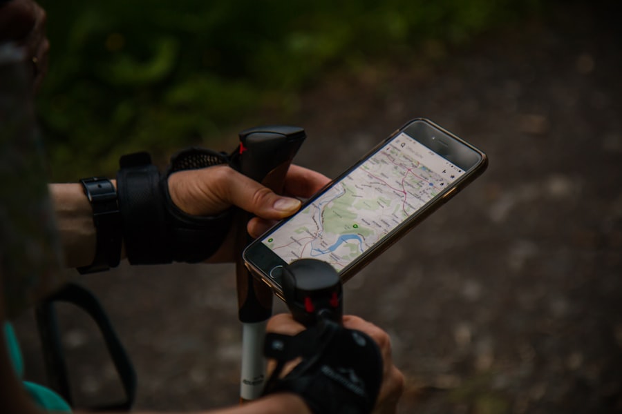
While GPS satellites tell you where you are, they don’t tell you what is around you. That’s where maps come in. For offline navigation to work, your GPS device needs a pre-loaded map of the area you’re in. This map data is stored locally on your device, completely independent of an internet connection.
Downloaded Maps: Your Offline Atlas
Most modern navigation apps allow you to download map areas for offline use. This process usually involves connecting to Wi-Fi and selecting the regions you plan to travel through. These downloaded maps contain a wealth of information, including:
Roads and Trails: The Pathways
This is the most obvious and crucial layer of information. Offline maps display roads, highways, streets, and sometimes even hiking trails, allowing your navigation app to plot routes and guide you.
Points of Interest (POIs): Landmarks and Necessities
Beyond just roads, offline maps often include points of interest. This can range from gas stations, restaurants, and hotels to hospitals, parks, and tourist attractions. This information is vital for planning and making stops.
Elevation Data: Understanding the Terrain
Many offline maps also incorporate elevation data. This allows your navigation app to provide information about hills, valleys, and changes in terrain, which can be particularly important for hikers, cyclists, or anyone driving in mountainous areas.
Vector vs. Raster Maps: How Information is Stored
The way map data is stored can impact the performance and detail of offline maps. You’ll often encounter two main types:
Vector Maps: Scalable and Intelligent
Vector maps are made up of mathematical descriptions of lines, points, and polygons. This means they can be scaled infinitely without losing quality. When you zoom in or out on a vector map, the data is recalculated, providing crisp and clear details at any zoom level. This also allows navigation apps to intelligently render roads, labels, and other features based on the zoom level.
Raster Maps: Image-Based and Static
Raster maps, on the other hand, are essentially a collection of pixels, like a digital photograph. They are created by scanning paper maps or from satellite imagery. While they can be very detailed, they don’t scale as well as vector maps. Zooming in too much can lead to pixelation and blurriness. However, for detailed topographic maps or satellite views, raster maps can be very useful.
The Navigation Algorithm: Connecting the Dots
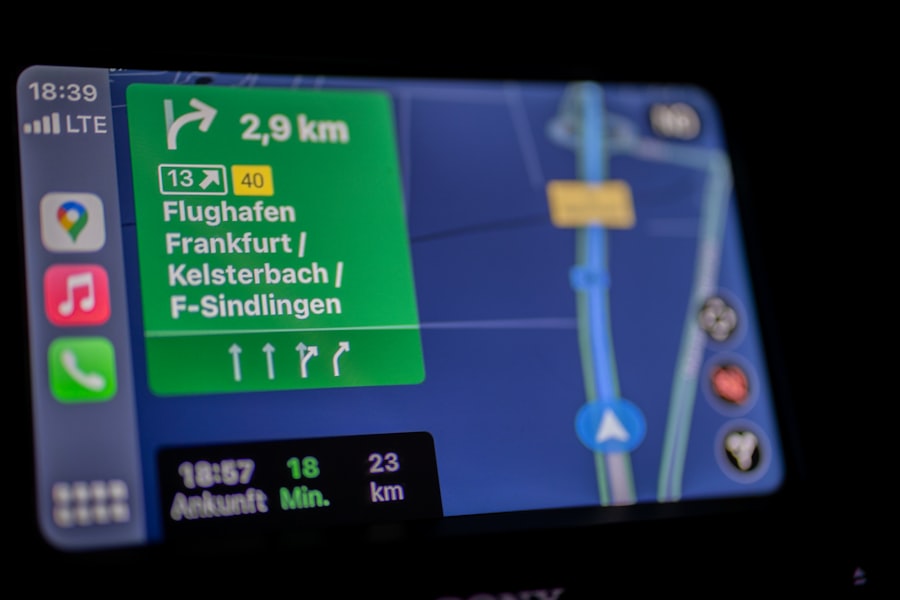
The GPS receiver provides your precise coordinates, and the offline map provides the geographical context. The final piece of the puzzle is the navigation algorithm, the software that integrates these two elements to provide turn-by-turn directions.
Route Planning: Finding Your Way
When you input a destination, the navigation algorithm consults the offline map data. It identifies available roads and pathways and calculates the most efficient or preferred route based on various factors, such as distance, estimated travel time, and sometimes even user preferences (e.g., avoiding highways).
Considering Road Types and Restrictions
The algorithm takes into account different road types (e.g., freeways, residential streets) and any restrictions (e.g., one-way streets, turn restrictions) present in the map data to ensure the planned route is valid and practical.
Calculating Turn-by-Turn Directions
Once a route is determined, the algorithm breaks it down into a series of actionable steps. As your GPS receiver tracks your movement, the algorithm compares your current location to the planned route and generates voice and visual prompts for upcoming turns, exits, and maneuvers.
Real-Time Tracking and Re-routing
Even when offline, your GPS receiver is continuously updating your position. The navigation algorithm constantly monitors your progress along the planned route. If you miss a turn or deviate from the intended path, the algorithm will detect this and recalculate a new route to get you back on track, all without needing an internet connection. This dynamic re-routing capability is what makes offline GPS so robust.
Understanding how GPS works without internet access can be quite fascinating, as it relies on a network of satellites that transmit signals to GPS receivers. These receivers calculate their position by triangulating the signals from multiple satellites, allowing users to determine their location accurately. For a deeper dive into the mechanics behind this technology, you can explore a related article that explains the principles of satellite navigation in detail. Check it out here for more insights into the science of GPS.
Why Offline GPS is Your Wilderness Essential
| Aspect | Explanation |
|---|---|
| GPS Satellites | A network of 24 satellites orbiting the Earth, transmitting signals to GPS receivers. |
| Triangulation | GPS receivers calculate their position by measuring the time it takes for signals from at least 3 satellites to reach them. |
| Offline Maps | GPS devices can store maps and use them without an internet connection. |
| Positioning Accuracy | GPS can provide location accuracy within a few meters under optimal conditions. |
| Navigation | GPS devices can provide turn-by-turn directions and route planning without internet access. |
The ability of GPS to function without an internet connection is not just a convenience; it’s often a critical safety feature. When you’re exploring remote areas, relying solely on cellular data can be a gamble.
Safety in Remote Areas
In national parks, mountain ranges, deserts, or any location with limited or no cell service, a dead phone signal can leave you disoriented and vulnerable. Offline GPS provides a reliable lifeline, ensuring you can always find your way back to civilization or navigate to a designated safety point.
Conserving Data and Battery Life
Constantly searching for a cellular signal can drain your phone’s battery much faster. Furthermore, using data-intensive navigation apps online can rack up significant mobile data charges. Offline GPS bypasses these issues, allowing you to navigate efficiently without worrying about your data plan or a quickly depleting battery.
Uninterrupted Travel
Imagine driving through tunnels, crossing remote bridges, or navigating areas with known dead zones for cellular service. With offline GPS, your navigation remains uninterrupted, providing a seamless and stress-free travel experience. It’s the peace of mind that comes from knowing you have a dependable navigation tool, regardless of your connectivity.
In essence, when you’re navigating offline, you’re not relying on the internet at all. You are tapping into a global network of satellites that are constantly broadcasting their position and the precise time. Your device’s GPS receiver uses these signals to calculate its distance from at least four of these satellites, a process called trilateration. This calculation allows your device to pinpoint your exact location on Earth. Simultaneously, your device uses pre-downloaded map data stored locally – your offline atlas – to provide context to those coordinates. The navigation algorithm then takes your current GPS position and your chosen destination, consults the offline map, and plots a route, guiding you turn by turn. It’s a self-contained system, a testament to the power of dedicated hardware and cleverly designed software, working in harmony to guide you, no matter where your adventures take you.

Your Phone Can Still Know Where You Are in Airplane Mode
FAQs
1. What is GPS and how does it work without internet?
GPS, or Global Positioning System, is a satellite-based navigation system that allows users to determine their precise location and time anywhere on Earth. GPS works without internet by using a network of satellites to transmit signals to GPS receivers, which then calculate the receiver’s location based on the time it takes for the signals to reach the receiver.
2. How many satellites are used in GPS and how do they communicate with GPS receivers?
The GPS system consists of 24 satellites orbiting the Earth at approximately 12,000 miles above the surface. These satellites continuously transmit signals that are picked up by GPS receivers. The receivers use the signals from multiple satellites to triangulate the user’s exact position.
3. Can GPS work without a data connection or cellular service?
Yes, GPS can work without a data connection or cellular service. The GPS receiver only needs to be able to pick up signals from the satellites, and does not require internet or cellular service to determine the user’s location.
4. What are the limitations of using GPS without internet?
While GPS can work without internet, there are limitations to its functionality. Without internet, users may not have access to real-time traffic updates, map updates, or location-based services that rely on internet connectivity. Additionally, GPS accuracy may be affected in areas with obstructed satellite signals, such as dense urban environments or deep valleys.
5. What are some common uses of GPS without internet?
Common uses of GPS without internet include navigation while hiking or camping in remote areas, geocaching, marine navigation, aviation, surveying, and outdoor recreational activities where internet connectivity may be limited or unavailable.